South San Ramon Creek facts for kids
Quick facts for kids South San Ramon Creek |
|
|---|---|
|
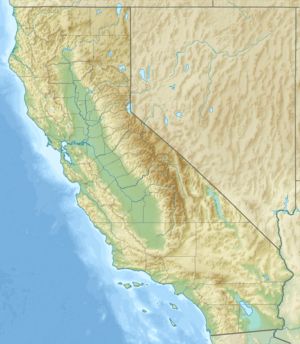
Location of the mouth of San Ramon Creek in California
|
|
| Country | United States |
| State | California |
| Region | Alameda County, Contra Costa County |
| Cities | Pleasanton, Dublin, San Ramon |
| Physical characteristics | |
| Main source | Sherburne Hills southeast of Danville 37°45′56″N 121°57′20″W / 37.76556°N 121.95556°W |
| River mouth | Arroyo de la Laguna Pleasanton, California 315 ft (96 m) 37°40′37″N 121°54′44″W / 37.67694°N 121.91222°W |
The South San Ramon Creek is a stream about 9.3-mile-long (15.0 km). It flows south through Alameda County and southern Contra Costa County. This area is in the East Bay region of northern California.
The creek is a smaller stream that flows into a larger one called Arroyo de la Laguna. It runs through the western part of the Livermore Valley, passing by the cities of Dublin and Pleasanton.
Where is South San Ramon Creek Located?
South San Ramon Creek helps drain the land above the Bishop Subbasin. This subbasin is part of the Livermore Valley Groundwater Basin. It's like a big underground sponge that holds water.
The Bishop Subbasin covers about 1,666 acres (7 km2) of land in the far northwest of the Livermore Valley. This area is entirely within Contra Costa County. It is also part of the San Ramon Valley.
The subbasin is surrounded by rolling hills on its east and west sides. These hills are made of ancient dirt and rocks.
Why is South San Ramon Creek Important?
The creek is very important for the environment. Since 2007, the city of San Ramon and other groups have been working to protect it. They want to save the special areas along the creek called riparian zones. These zones are home to many plants and animals.
You can also enjoy the creek by visiting the Iron Horse Regional Trail. This public trail runs right alongside a part of South San Ramon Creek. It's a great place for walking or biking!
 | Isaac Myers |
 | D. Hamilton Jackson |
 | A. Philip Randolph |


