Traverse Mountains facts for kids
Quick facts for kids Traverse Mountains |
|
|---|---|

|
|
| Highest point | |
| Geography | |
| Country | United States |
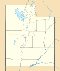
| State | Utah |
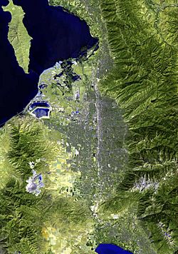
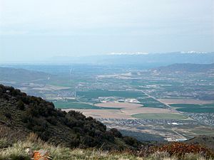
The Traverse Mountains are a unique mountain range in Utah, USA. They run from east to west, which is a bit unusual for mountains in this area. These mountains act like a natural wall, separating two large valleys: Salt Lake Valley and Utah Valley.
A well-known spot in this range is called Point of the Mountain. This name is often used to describe the part of the mountains that divides the big cities of Salt Lake City and Provo. It's also where highways and train tracks pass through to connect these two busy areas.
Discover the Traverse Mountains

The Traverse Mountains sit right on the edge of the Wasatch Fault. This is a very long crack in the Earth's crust. Because of this, the mountains have many smaller cracks, called faults, and sometimes experience landslides.
Long ago, during the ice age, a huge ancient lake called Lake Bonneville covered both the Salt Lake and Utah Valleys. You can still see the old shorelines and deposits from this giant lake etched into the sides of the Traverse Mountains today.
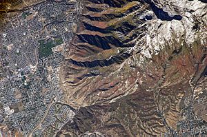
The eastern part of the range is shared by the cities of Lehi and Draper. The Draper side has a community called Suncrest. The Lehi side has the Traverse Mountain community. Right between these two areas, you'll find the Flight Park State Recreation Area. This is a state park where people often go for activities like hang gliding.
The western part of the mountains is home to the Camp Williams National Guard Training Site. Two notable spots on the far western end of the eastern section are Point of the Mountain and Steep Mountain. Steep Mountain reaches about 6,160 feet (1,878 m) high.
The Giant Landslide Story
Scientists have found something amazing about the eastern Traverse Mountains. They believe this entire section, from Point of the Mountain to Corner Canyon, is actually one giant landslide. This massive slide covers an area of 57 square kilometers (about 22 square miles)!
This huge event happened a very long time ago, between 6.1 and 6.5 million years ago. It's thought that the eastern Traverse Mountains used to be part of a different mountain area to the south. A huge earthquake, possibly from the nearby Wasatch Fault, might have caused the landslide. This moved the mountains about 16-17 kilometers (about 10 miles) west to where they are now.
How do scientists know this? They found special rocks called Pseudotachylyte in the area. These rocks form from intense heat caused by friction, like when a huge mass of rock slides very fast. There are also many broken and jumbled rocks, called brecciated rocks, throughout the mountains. This shows a very powerful event affected the whole mountain.
Another clue comes from "pebble dikes." These are cracks filled with small rocks. The pebble dikes in the Traverse Mountains match others found in a different area to the south. This suggests they were once connected before the big slide happened. The landslide probably occurred because the rocks were weakened over time by hot water flowing through them, a process called hydrothermal alteration.
 | Laphonza Butler |
 | Daisy Bates |
 | Elizabeth Piper Ensley |


