Arroyo Valle facts for kids
Quick facts for kids Arroyo Valle |
|
|---|---|

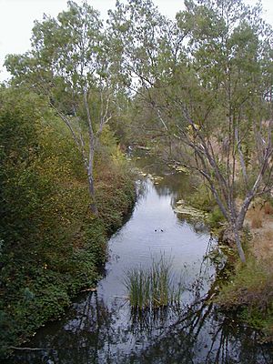
Arroyo del Valle in Pleasanton, California
|
|
|
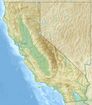
Location of the mouth of Arroyo Valle in California
|
|
| Other name(s) | Arroyo De Los Taunamines |
| Country | United States |
| State | California |
| Region | Santa Clara County |
| City | Pleasanton, California |
| Physical characteristics | |
| Main source | Confluence of San Antonio Creek and Arroyo Bayo 1,808 ft (551 m) 37°23′08″N 121°34′21″W / 37.38556°N 121.57250°W |
| River mouth | Confluence with Arroyo de la Laguna 302 ft (92 m) 37°39′43″N 121°54′22″W / 37.66194°N 121.90611°W |
| Basin features | |
| Tributaries |
|

The Arroyo Valle (also known as Arroyo Del Valle) is a stream in California. It flows for about 36.4-mile-long (58.6 km). The stream starts in northeastern Santa Clara County, California. It then flows northwest into Alameda County. Here, a dam creates Lake Del Valle. After the lake, Arroyo Valle joins Arroyo de la Laguna. This stream then flows into Alameda Creek, which eventually reaches San Francisco Bay.
In the past, many steelhead fish used to swim up Arroyo Valle. These fish are called anadromous because they live in the ocean but return to freshwater to lay their eggs. Sadly, the stream's health got worse in the late 1900s. This caused a big drop in the number of these special fish.
Contents
History of Arroyo Valle's Name
Arroyo Valle was once called Arroyo De Los Taunamines. This name came from the Taunamines people, who were part of the Costanoan group. They used to live along the stream.
In 1853, the stream's name was changed. It became Arroyo del Valle, which means "Stream of the Valley."
Where Arroyo Valle Flows
The Start of the Stream
The upper parts of Arroyo Valle are in northeastern Santa Clara County, California. The main stream forms where two smaller creeks meet. These are San Antonio Creek and Arroyo Bayo.
San Antonio Creek begins on the western side of Mount Stakes. This mountain is about 3,804 feet (1,159 m) tall. The creek flows west through the San Antonio Valley. Arroyo Bayo also starts on Mount Stakes and flows west through the Upper San Antonio Valley. Both creeks then join to form Arroyo Valle.
Lake Del Valle and Beyond
Arroyo Valle is held back by the Del Valle Dam. This dam creates a large lake called Lake Del Valle. The lake is located in southeastern Alameda County.
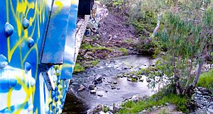
After the lake, Arroyo Valle flows through the southern part of Livermore. It also flows through a large part of Pleasanton. Both of these cities are in the Livermore Valley. The stream then joins Arroyo de la Laguna. This stream then flows into Alameda Creek. Finally, Alameda Creek reaches San Francisco Bay near Fremont, California.
Nature and Environment
Stream Health
Scientists have measured the Water quality in Arroyo Valle. In the Livermore Valley, the water's pH level is about 7.0. This means the water is neutral, not too acidic or too basic. This is good for plants and animals living in the stream.
Wildlife and Land Use
The middle parts of Arroyo Valle, south of Livermore, have been used for grazing animals for a long time. This means cows or other animals have eaten grass there. The land slopes gently down towards areas where gravel has been dug up in the past.
 | Aurelia Browder |
 | Nannie Helen Burroughs |
 | Michelle Alexander |


