Bitter Spring Valley facts for kids
Quick facts for kids Bitter Spring Valley |
|
|---|---|
 |
|
| Length | 13 mi (21 km) ENE |
| Width | 7 mi (11 km) |
| Geography | |
| Country | United States |
| State | Nevada |
| County | Clark |
| Communities | Echo Bay, Nevada, Overton Beach, Nevada, (Callville Bay Resort and Marina) and Overton, Nevada |
| Borders on | Muddy Mountains, Lake Mead, Black Mountains (Nevada) and Black Mountains (Arizona) |
| River | Bitter Spring Wash |
| Lake | Lake Mead |
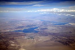
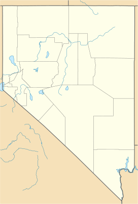
The Bitter Spring Valley is a long valley, about 13 miles (21 km) long. It's found in Nevada, a state in the United States. This valley is located northeast of Las Vegas, right on the western edge of Lake Mead. It sits along the northern part of Lake Mead, called the Overton Arm.
This valley is like a small bowl, tucked between two mountain ranges. A stream called Bitter Spring Wash flows from the valley towards the east. It empties into the Overton Arm of Lake Mead near a place called Echo Bay, Nevada. Just north of the valley, you'll find the famous Valley of Fire State Park. This park is on the other side of the Muddy Mountains. There's also a dirt road, the Bitter Spring Trail, that goes through the Muddy Mountains and the valley. It connects to paved roads near Echo Bay and the Valley of Fire Highway, and also to Interstate 15.
Contents
What Does Bitter Spring Valley Look Like?
Bitter Spring Valley is about 13 miles (21 km) wide. Inside the valley, there's a curved ridge called Bitter Ridge, which is about 4 miles (6.4 km) long. This ridge divides the valley into two main parts: a longer South Section and a North Section. The North Section is almost completely surrounded by the Muddy Mountains to its west, northwest, and north.
How Water Flows in the Valley
The North Section of the valley has two streams, or "washes," that flow southeast. These washes join up with the streams in the South Section. All these streams then combine and flow east-northeast towards Echo Bay, which is part of the Overton Arm of Lake Mead.
Nearby Mountains
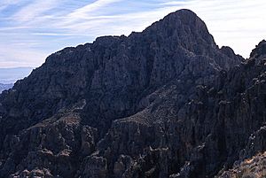
To the west of the valley, you can see Muddy Peak. This mountain is quite tall, reaching about 5,363 feet (1,635 meters) high. It's close to Bitter Ridge, but not directly connected to it. Bitter Ridge is about 1.5 miles (2.4 km) east of Muddy Peak.
How to Visit Bitter Spring Valley
There are a few ways to get to Bitter Spring Valley and the areas around it.
Southern Routes
If you're coming from the south, you can take North Shore Road. This road starts from Nevada State Route 564 near Henderson, Nevada. North Shore Road is the main way to reach Echo Bay and the eastern part of Bitter Spring Valley. It also goes through the northeastern parts of the Black Mountains, which are next to Lake Mead.
Northern Routes
From the north, you can use the Valley of Fire Highway. This highway connects to Interstate 15. You can reach a northern access point from Overton Beach, Nevada, where it meets North Shore Road.
Unpaved Trails
There's also a dirt road that starts from Echo Bay. This road goes through Bitter Spring Wash and then through Bitter Spring Valley itself. It continues through the northwest part of the Muddy Mountains and eventually connects with the Valley of Fire Highway.
 | Roy Wilkins |
 | John Lewis |
 | Linda Carol Brown |


