Cochetopa Hills facts for kids
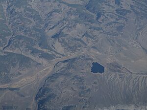
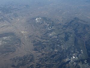
The Cochetopa Hills are a group of uplands in southern Colorado, United States. They are located in Saguache County. These hills sit right on the Continental Divide. This means they help separate which way water flows across the continent!
Where are the Cochetopa Hills?
The Cochetopa Hills connect two bigger mountain ranges. They link the southern part of the Sawatch Range to the northern part of the La Garita Mountains. The La Garita Mountains are part of the larger San Juan Mountains System.
These hills have a gentle, rolling landscape. Their peaks are usually between 11,000 and 12,000 feet high. The Cochetopa Hills also have interesting volcanic rock formations. The Sawatch Range and La Garita Mountains, which are nearby, have much taller peaks.
Exploring the Area
If you look at maps from the USGS, you can see the Cochetopa Hills clearly. They are generally found between Antora Peak (which is 13,269 feet tall) and the town of Sargents. They also stretch towards Cochetopa Creek and the town of Saguache.
You can travel through the Cochetopa Hills using Colorado State Highway 114. This highway goes over North Pass. There is also a backcountry road called Cochetopa Pass. These passes let people travel from the upper Rio Grande area in the east to the upper Gunnison River area in the west.
 | Emma Amos |
 | Edward Mitchell Bannister |
 | Larry D. Alexander |
 | Ernie Barnes |


