Conejo Grade facts for kids
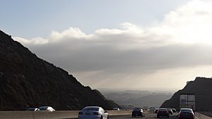
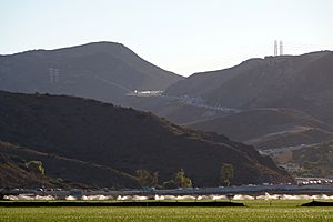
The Conejo Grade is a steep uphill section of U.S. Route 101 (the Ventura Freeway). It is also called the Camarillo Grade. This part of the highway connects Thousand Oaks and other cities in the Conejo Valley with Camarillo and cities on the Oxnard Plain. The highest point of the grade is about 841 feet above sea level. At the top, there are special inspection stations for trucks on both sides of the highway.
The Conejo Mountain has always been a natural barrier, splitting Ventura County into two parts. Long ago, this mountain was famous for its many jackrabbits and prickly pear cacti. The land around it was formed by volcanoes millions of years ago, which is quite rare in Southern California. The Chumash people used to have a trading path through this area. Later, farmers used it to move their crops down to the Hueneme wharf. The road was improved in 1912. It was 6 miles long and had 49 curves. As more cars used it, the road was made straighter and moved in 1935. The new road was a mile shorter and had only twelve curves.
Contents
History of the Grade
The steep slope was known as the "cuesta del conejo", which means "slope of the rabbit". This name was given because of the many rabbits in the area. The Conejo Grade is part of the historic El Camino Real route.
Early Roads and Settlements
Early European settlers in the Conejo Valley were known as the Norwegian Colony. They needed a safe way to transport their crops, like hay and wheat, to the Hueneme Wharf on the Oxnard Plain. After some accidents on other steep roads, they decided to build a new path. The Norwegian Grade was carved out of a canyon hillside by the community and their workers between 1900 and 1911.
The land for the highway was originally part of a large ranch called Rancho El Conejo. Adolfo Camarillo also contributed land for the road. By 1929, a road was already in place, and it was made straighter. In the 1930s, the road was made wider, and dangerous blind curves were removed. In the 1950s, the highway was updated to become a modern freeway. Some parts of the old highway are still used today as side roads.
Wildlife and the Freeway
In 2017, a young male mountain lion named P-55 crossed the freeway on the grade at night. This mountain lion wore a tracking collar. Researchers from the National Park Service use these collars to study mountain lions in the Santa Monica Mountains National Recreation Area. Since 2002, the National Park Service has recorded many mountain lions being hit and killed by cars on this freeway section.
To help these animals, a special bridge called the Wallis Annenberg Wildlife Crossing is being planned. This bridge will help mountain lions and other wildlife cross the freeway safely. The freeway acts like a wall, stopping animals from moving between the Simi Hills and the Santa Monica Mountains. Many groups, including the Ventura County Transportation Commission and the National Wildlife Federation, are working to build this wildlife crossing. It will connect the natural areas on both sides of the freeway.
Recent Events: Fires
On November 8, 2018, the Hill Fire temporarily closed the freeway. Strong Santa Ana winds pushed the fire towards Newbury Park. The fire was put out by November 16 with little damage. The Woolsey Fire started on the same day. It also closed the freeway near Oak Park. This fire grew very large, burning over 98,000 acres. It destroyed many buildings and sadly caused some deaths.
 | Lonnie Johnson |
 | Granville Woods |
 | Lewis Howard Latimer |
 | James West |


