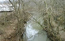
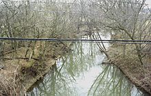
Duck Creek (Ohio) facts for kids

Duck Creek is a stream, about 30 miles (50 kilometers) long, in southeastern Ohio, United States. It's like a smaller river that flows into a bigger one, the Ohio River. The Ohio River then joins the mighty Mississippi River! So, Duck Creek is part of a huge water system that drains into the Gulf of Mexico. This creek flows through a hilly area called the Unglaciated Allegheny Plateau. It's located between the areas drained by the Muskingum River and Little Muskingum River.
Where Duck Creek Flows
Duck Creek starts in the hills of northern Washington County, Ohio. It forms near a place called Warner, Ohio, which is about 15 miles (24 km) north of Marietta, Ohio. Duck Creek begins when two smaller streams, the East Fork Duck Creek and West Fork Duck Creek, join together.
East Fork Duck Creek
The East Fork is about 20 miles (30 km) long. It begins in western Monroe County, Ohio and flows south through eastern Noble County, Ohio and northern Washington County.
West Fork Duck Creek
The West Fork is longer, about 30 miles (50 km). It starts in southeastern Guernsey County, Ohio. It flows generally south-southeast through central Noble and northern Washington Counties. This fork passes by towns like Belle Valley, Caldwell, Dexter City, and Macksburg. The West Fork is the larger of the two streams that form Duck Creek.
Journey to the Ohio River
From where the East and West Forks meet at Warner, Duck Creek flows mostly southward. It takes a very winding path, curving and bending a lot. Finally, it joins the Ohio River at Marietta, Ohio, just a few miles east of the city's downtown area.
 | Leon Lynch |
 | Milton P. Webster |
 | Ferdinand Smith |


