
Geraldine Peak facts for kids
Quick facts for kids Geraldine Peak |
|
|---|---|

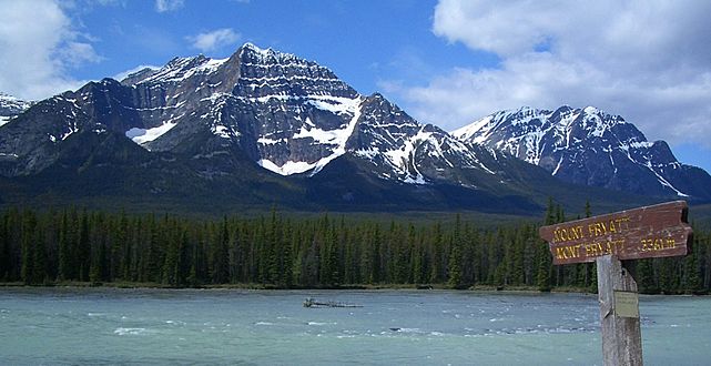
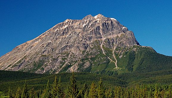
Geraldine Peak seen from Whirlpool River
|
|
| Highest point | |
| Elevation | 2,930 m (9,610 ft) |
| Prominence | 710 m (2,330 ft) |
| Parent peak | Mount Fryatt 3361 m |
| Listing | Mountains of Alberta |
| Geography | |

Geraldine Peak
Location in Alberta

Geraldine Peak
Location in Canada
|
|
| Location | Alberta, Canada |
| Parent range | Canadian Rockies |
| Topo map | NTS 83C/12 |
| Climbing | |
| Easiest route | Scrambling |
Geraldine Peak is a mountain in Jasper National Park, Alberta, Canada. It stands 2,930-metre (9,610-foot) tall in the Canadian Rockies. This peak is also known as Whirlpool Mountain or Mount Geraldine. Its name comes from its location between Geraldine Lakes and the Whirlpool River. You can spot Geraldine Peak from the Icefields Parkway near Athabasca Falls.
Mountain Climate
Geraldine Peak is in a subarctic climate zone. This means it has very cold, snowy winters. Temperatures can drop below -20 °C (that's -4 °F!). Summers are usually mild. Snow and ice melting from the peak flow into streams that join the Athabasca River.
How Mountains Form
The rocks that make up Geraldine Peak were formed a very long time ago. They are sedimentary rock, which means they were made from layers of sand, mud, and tiny bits of plants and animals. These layers were laid down during the Precambrian and Jurassic periods. Later, during an event called the Laramide orogeny, these rocks were pushed up and folded. This is how the mountain we see today was created!
Gallery
-
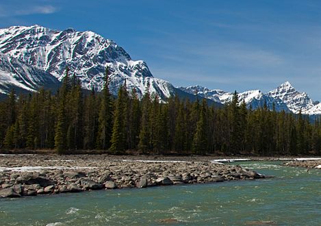
Whirlpool Mountain (left) and Mount Edith Cavell (right) seen with Athabasca River
-
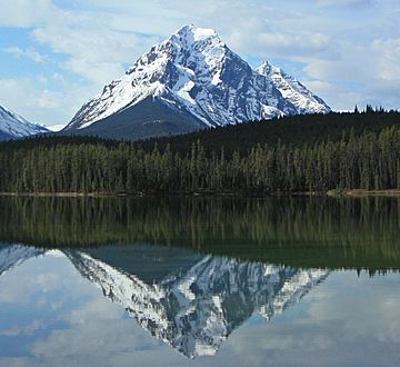
Whirlpool Mountain reflected in Leech Lake
-
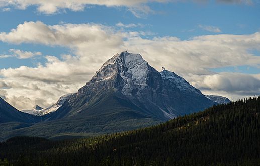
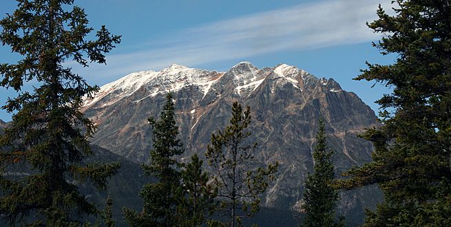
Whirlpool Mountain
-
Mount Fryatt outlier (left) and Whirlpool Mountain (right)
-
Geraldine Peak
-
Geraldine Peak


See also
 In Spanish: Pico Geraldine para niños
