
Hancock Butte (Arizona) facts for kids
Quick facts for kids Hancock Butte |
|
|---|---|

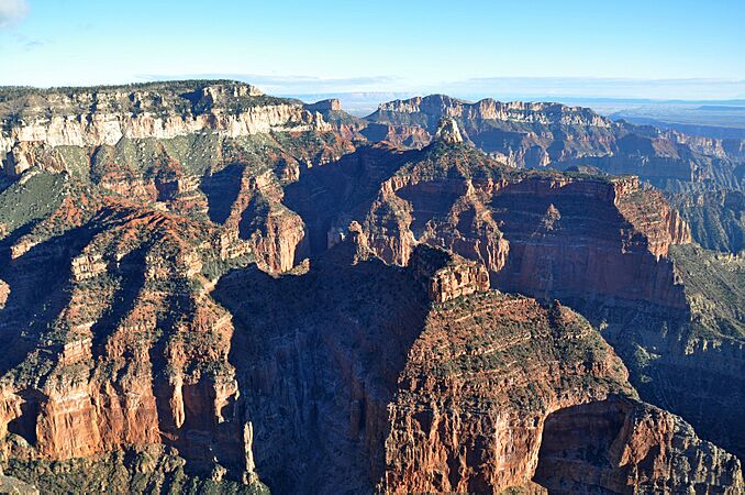
North aspect centered, from Point Imperial
|
|
| Highest point | |
| Elevation | 7,683 ft (2,342 m) |
| Prominence | 463 ft (141 m) |
| Isolation | 0.81 mi (1.30 km) |
| Parent peak | Mount Hayden (8,362 ft) |
| Naming | |
| Etymology | William A. Hancock |
| Geography | |

Hancock Butte
Location in Arizona

Hancock Butte
Location in the United States
|
|
| Location | Grand Canyon National Park Coconino County, Arizona, US |
| Parent range | Kaibab Plateau Colorado Plateau |
| Topo map | USGS Point Imperial |
| Geology | |
| Age of rock | Permian |
| Climbing | |
| First ascent | Alan Doty, October 1976 |
| Easiest route | class 5.1 climbing |
Hancock Butte is a mountain peak that stands 7,683 feet (2,342 meters) tall. It is located in the amazing Grand Canyon in northern Arizona, USA. This peak is about one mile south of the Point Imperial viewpoint, which is on the North Rim of the canyon. From there, Hancock Butte rises an impressive 3,700 feet (1,130 meters) above Nankoweap Canyon.
Nearby peaks include Mount Hayden, which is about one mile to the north-northeast. Kibbey Butte is one mile to the south-southwest, and Brady Peak is 1.5 miles to the southeast. Hancock Butte was named after William Augustus Hancock (1831–1902). He was an important pioneer and politician in the Arizona Territory. He helped survey the land to create the city of Phoenix and built its first building in 1870. The name "Hancock Butte" was officially recognized in 1932 by the United States Board on Geographic Names. The area around Hancock Butte has a Cold semi-arid climate, which means it's usually dry with cold winters.
What is Hancock Butte?
Hancock Butte is a type of mountain called a butte. A butte is a tall, isolated hill with steep sides and a flat top. Think of it like a natural tower!
How Was Hancock Butte Formed?
Hancock Butte is made of different layers of rock. The very top layer is called Esplanade Sandstone. This sandstone is part of a larger group of rocks known as the Supai Group, which formed during the Pennsylvanian and Permian periods. Below these layers is a thick rock formation called Redwall Limestone, which formed during the Mississippian period.
Over millions of years, water from rain and snowmelt (called runoff) has slowly worn away the softer rocks around Hancock Butte. This erosion carved out the steep sides of the butte. The runoff from Hancock Butte flows east into Nankoweap Creek, which eventually joins the mighty Colorado River.
Images for kids
-
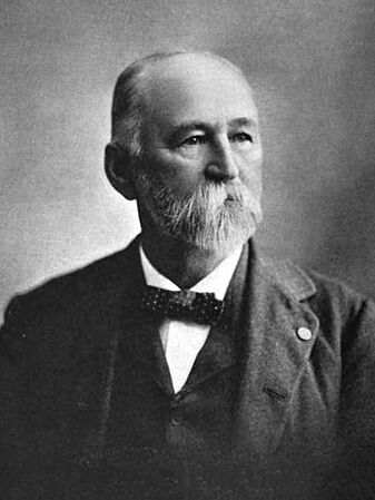
William Augustus Hancock
-
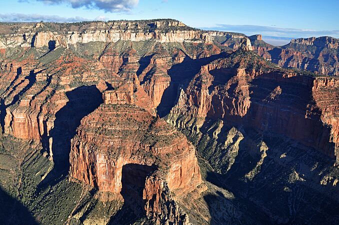
Aerial view of Hancock Butte from the south. Mount Hayden is to the right, and Point Imperial is at the top.
-
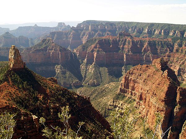
Mount Hayden is on the left, and Hancock Butte is in the lower right.
-
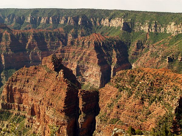
Hancock Butte is in the lower left of this view.
-
An aerial view showing Hancock Butte with Mount Hayden behind it.


.jpg)
