
Image: Relief map of Lesser Antilles
No higher resolution available.
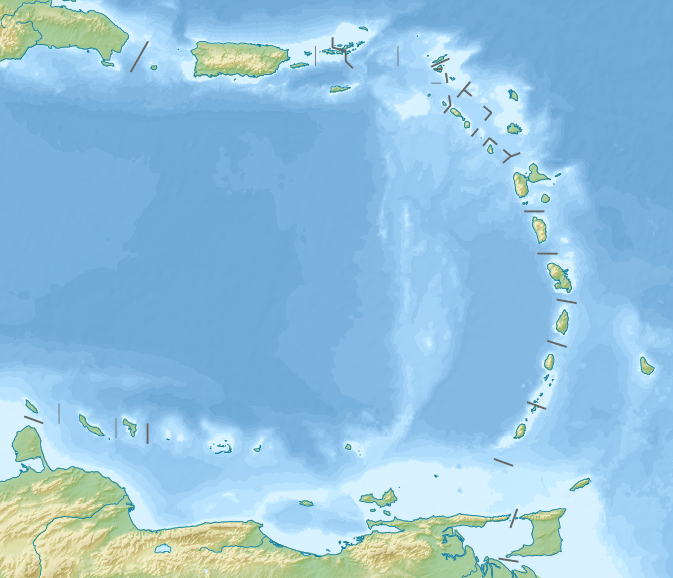
Relief_map_of_Lesser_Antilles.png (673 × 578 pixels, file size: 345 KB, MIME type: image/png)
Description: Relief map of the Lesser Antilles
Title: Relief map of Lesser Antilles
Credit: ETOPO1 for relief and bathymetry File:Lesser Antilles location map.svg for borders and coastline; by NordNordWest Own work using [[File:|32x20px]] This map was created with GMT. This PNG graphic was created with Inkscape.
Author: Nzeemin
Usage Terms: Creative Commons Attribution-Share Alike 3.0
License: CC BY-SA 3.0
License Link: https://creativecommons.org/licenses/by-sa/3.0
Attribution Required?: Yes
Image usage
The following 30 pages link to this image:
- Anegada Passage
- Anguilla Channel
- Cayo Batata
- Cayo Icacos
- Cayo Luis Peña
- Cayo Norte
- Cayo Santiago
- Cayos de Caña Gorda
- Coche Island
- Culebrita
- Desecheo Island
- Isla Cardona
- Isla Magueyes
- Isla Palomino
- Isla de Cabras
- Isla de Jueyes
- Isla de Ratones (Cabo Rojo, Puerto Rico)
- Isla de Ratones (Ponce, Puerto Rico)
- Isla del Frío
- Isleta de San Juan
- Mona Passage
- Monito Island
- Morrillito
- Redonda
- Saint Croix
- Saint John, U.S. Virgin Islands
- Saint Thomas, U.S. Virgin Islands
- Saint Vincent (island)
- Spanish Virgin Islands
- Thatch Cay, U.S. Virgin Islands

All content from Kiddle encyclopedia articles (including the article images and facts) can be freely used under Attribution-ShareAlike license, unless stated otherwise.