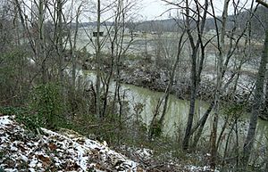
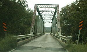
Little Sandy River (Kentucky) facts for kids

The Little Sandy River is a river in northeastern Kentucky, United States. It's like a smaller stream that flows into a bigger one, which is called a tributary. The Little Sandy River flows into the Ohio River.
This river is about 85.4 miles (137.4 kilometers) long. It collects water from an area of about 724.2 square miles (1,876 square kilometers). All the water from the Little Sandy River eventually makes its way to the Mississippi River. This whole area where water collects and flows into a river system is called a watershed.
Where the River Flows
The Little Sandy River starts in the southern part of Elliott County. It then flows generally north and northeast. The river takes a winding path, like a snake, through Elliott, Carter, and Greenup counties.
Along its journey, the river passes through towns like Sandy Hook and Grayson. Finally, it joins the Ohio River at a town called Greenup. At Grayson, a lot of water flows through the river, about 502 cubic feet every second!
Dams and Lakes
There is a large dam built by the United States Army Corps of Engineers in Carter County. This dam makes the Little Sandy River much wider, forming a big lake called Grayson Lake. This lake stretches across southern Carter and northern Elliott Counties.
You can also find Grayson Lake State Park right next to this beautiful lake. It's a great place for outdoor activities!
East Fork Little Sandy River
The East Fork Little Sandy River is another important stream that joins the main Little Sandy River. This "fork" is about 48.3 miles (77.7 kilometers) long. It meets the main river in Greenup County.
The East Fork starts in northern Lawrence County. It first flows east, then turns and flows north-northwest. It travels through Boyd and Greenup Counties. The East Fork also flows past Cannonsburg, which is a suburb of Ashland.
 | Mary Eliza Mahoney |
 | Susie King Taylor |
 | Ida Gray |
 | Eliza Ann Grier |


