Monocacy National Battlefield facts for kids
Quick facts for kids Monocacy National Battlefield |
|
|---|---|
| Location | Frederick County, Maryland, USA |
| Nearest city | Frederick, Maryland |
| Area | 1,647 acres (6.67 km2) |
| Established | June 21, 1934 |
| Visitors | 17,985 (in 2005) |
| Governing body | National Park Service |
| Website | Monocacy National Battlefield |
|
Monocacy National Battlefield
|
|
| Area | 1,500 acres (610 ha) |
| Built | 1864 |
| NRHP reference No. | 66000908 |
| Significant dates | |
| Added to NRHP | November 8, 1973 |
| Designated NHL | November 8, 1973, |
The Monocacy National Battlefield is a special place managed by the National Park Service. It marks where the Battle of Monocacy happened during the American Civil War. This important battle took place on July 9, 1864.
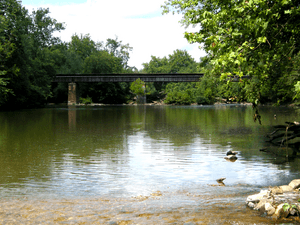
The battlefield is located near the Monocacy River, southeast of Frederick, Maryland. This battle is often called "The Battle That Saved Washington." It was one of the last times soldiers from the South (the Confederates) fought in the North (Union territory). General Jubal Anderson Early led the Southern troops, and General Lew Wallace led the Northern troops.
Contents
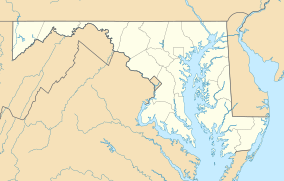
Where is Monocacy Battlefield Located?
Monocacy National Battlefield is in an area with many other Civil War sites. You can find it on Maryland Route 355 (Urbana Pike), a few miles southeast of Frederick.
- Nearby Interstate 70 goes west to Antietam National Battlefield.
- U.S. Route 15 leads north to the famous Gettysburg Battlefield.
- South on U.S. 15 is the battlefield of Ball's Bluff.
Monocacy National Battlefield is about 50 miles (80 km) west of Baltimore. It is also about 44 miles (71 km) northwest of Washington D.C..
The Story of Monocacy Battlefield
For over 100 years after the Civil War, much of the Monocacy battlefield was private land. In 1928, a man named Glenn Worthington owned a large part of the northern battlefield. He asked the U.S. Congress to make Monocacy a National Military Park.
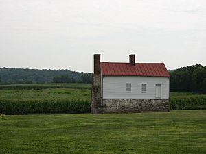
The bill passed in 1934, but it took almost 50 years to get money for the land. Once funds were available in the late 1970s, about 1,587 acres (6.42 km2) were bought. This land was then given to the National Park Service to care for and teach about. The historic Thomas Farm, where some of the fiercest fighting happened, was acquired in 2001.
Sadly, some parts of the battlefield were changed. In the 1960s and 1980s, Interstate 270 was built and later made wider. This highway cut through a section of the battlefield.
Remembering the Battle
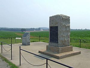
In the years after the battle, groups of veterans placed markers on the battlefield. These markers honored specific army units.
- The 14th New Jersey monument was dedicated in 1907.
- There are also markers for the 87th Pennsylvania Infantry and Vermont units.
Later, more monuments were added. These include the Confederate Monument and the Maryland Centennial Monument. They are near the Best Farm, where Union soldiers found Robert E. Lee's lost battle plans in 1862. The National Park Service has also added signs around the park to explain what happened.
Visiting Monocacy Battlefield
The visitor center is now in a new building on the west side of the Monocacy River. It has a special map program and interactive computer displays. You can also see artifacts from the battle.
The visitor center is where you can start a self-guided auto tour. This tour is four miles (6 km) long. There is also a 1/2 mile (800 m) walking trail. Park rangers and volunteers lead battle walks and special programs in the summer. The Worthington Farm Trail lets you walk through parts of the battlefield. You can also explore the native flora (plants) of the area.
In 2013, a group called Preservation Maryland listed Monocacy National Battlefield as a threatened historic property. This means they want to help protect it even more.
More to Explore
- L'Hermitage Slave Village Archeological Site at the Best Farm. This was a plantation founded by people from Haiti before the Civil War.
- 14th New Jersey Volunteer Infantry monument
 | Calvin Brent |
 | Walter T. Bailey |
 | Martha Cassell Thompson |
 | Alberta Jeannette Cassell |


