Nechako Plateau facts for kids
Quick facts for kids Nechako Plateau |
|
|---|---|
| Location | British Columbia, Canada |
| Coordinates | 54°00′00″N 126°00′00″W / 54.00000°N 126.00000°W |
| Part of | Interior Plateau |
| Geology | Flood basalt |
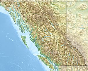
The Nechako Plateau is a large, flat area of land in British Columbia, Canada. It is the most northern part of the Interior Plateau, which is one of the main land regions in the province.
This plateau covers the area around the Nechako River and its smaller rivers, like the Stuart River and Endako River. To the south, it meets the Chilcotin Plateau. To the north, it's bordered by the Nation River and large lakes like Babine and Takla Lake.
The name "Nechako" comes from the Carrier language, which is spoken by Indigenous people in the area. In their language, netʃa koh means "big river."
Contents
What are the smaller ranges within the Nechako Plateau?
The Nechako Plateau has four official smaller mountain ranges or groups of hills. These are:
- Fawnie Range
- Nechako Range
- Quanchus Range
- Telegraph Range
The Fawnie, Nechako, and Telegraph Ranges are mostly low hills. However, the Quanchus Range is much more mountainous. It's almost like an island surrounded by the waters of the Nechako Reservoir. A large part of this area is protected within Tweedsmuir North Provincial Park and Protected Area.
How was the Nechako Plateau formed?
The Nechako Plateau was created by ancient lava flows. This lava spread out over older volcanic and sedimentary rock layers. After the lava cooled, huge sheets of ice (glaciers) moved across the land. These glaciers carved the bedrock, shaping it into the rolling hills we see today.
The Nechako Canyon: A natural wonder
The Nechako Canyon is a special part of the plateau. It's also known as the Grand Canyon of the Nechako. This canyon is now a provincial protected area because of its amazing landscape.
The Nechako River carved this deep canyon into the plateau's lava rock. The canyon walls are lined with tall, pointed rock formations and overhanging cliffs. The canyon starts at the Kenny Dam, where water flows out of the Nechako Reservoir. It ends at Cheslatta Falls, an 18-meter (about 59-foot) waterfall. This waterfall is the final part of the Cheslatta River's journey.
What is the climate and plant life like?
The Nechako Plateau has a unique climate and a variety of trees. The area is home to trees like white spruce, subalpine fir, and Engelmann spruce (especially at higher elevations).
The plateau is protected from the wet weather coming from the Pacific by the tall Coast Mountains and Hazelton Mountains. This protection means the Nechako Plateau experiences dry, warm summers and dry, cold winters.
 | Jewel Prestage |
 | Ella Baker |
 | Fannie Lou Hamer |


