Nettleton, Wiltshire facts for kids
Quick facts for kids Nettleton |
|
|---|---|
| Population | 693 (2011 census) |
| OS grid reference | ST8278 |
| Civil parish |
|
| Unitary authority |
|
| Ceremonial county | |
| Region | |
| Country | England |
| Sovereign state | United Kingdom |
| Post town | Chippenham |
| Postcode district | SN14 |
| Dialling code | 01249 |
| Police | Wiltshire |
| Fire | Wiltshire |
| Ambulance | Great Western |
| EU Parliament | South West England |
| UK Parliament |
|
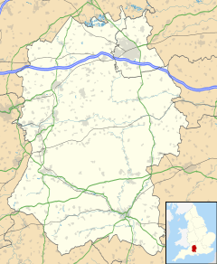
Nettleton is a small village and civil parish in Wiltshire, England. It's located about 6.5 miles (10.5 km) northwest of Chippenham. A "civil parish" is like a local area with its own council.
The Nettleton parish includes other nearby places. These are the villages of Burton and West Kington. It also has smaller settlements called hamlets, like Horsedown, Nettleton Shrub, and West Kington Wick. The northern part of Nettleton village is known as Nettleton Green. Until 1934, Burton and Nettleton were separate areas.
Contents
Exploring Nettleton's Geography
Nettleton parish is located right next to the county of Gloucestershire. Two small rivers, the Burton Brook and the Broadmead Brook, flow through the area. The Burton Brook is in the north, and the Broadmead Brook is in the south. They meet up to form the Bybrook River at the eastern edge of the parish.
Nettleton Mill and Ancient Roads
You can find Nettleton Mill on the Broadmead Brook. This is an old watermill that used to be part of the Castle Combe estate. It sits at the southeastern boundary of the parish. An ancient Roman road called the Fosse Way also runs through Nettleton parish, crossing both brooks.
A Glimpse into Nettleton's Past
Nettleton has a long and interesting history. People have lived here for thousands of years!
Ancient Burial Sites
About 0.75 miles (1.2 km) east of the village, you'll find Lugbury Long Barrow. This is an ancient burial mound with special chambers inside. When people explored it in the 1800s, they discovered 28 human skeletons within these chambers.
Roman Settlement Discoveries
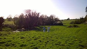
In the northwest part of the parish, archaeologists found the remains of a Romano-British settlement. This means it was a place where Romans and native Britons lived together. They found about 30 buildings near where the Fosse Way crosses the Broadmead Brook.
Experts studied this site between 1956 and 1971. They believe it was a religious place, possibly with an octagonal (eight-sided) shrine about 10 meters wide. People might have worshipped different Roman gods here, like Apollo Cunomaglus, Diana, Mercury, and Mars with his Gaulish partner Rosmerta. Today, this area is mostly fields and woodland again.
Nettleton in the Domesday Book
The Domesday Book is a famous record from 1086, ordered by William the Conqueror. It listed how many households were in Nettleton at that time. The book recorded 24 households, which gives us an idea of how many people lived there almost a thousand years ago!
Places of Worship in Nettleton
Nettleton has a history of different religious communities.
Local Churches and Chapels
A Baptist chapel has been in Nettleton since 1823. The main parish church for Nettleton is St Mary's, located in Burton. West Kington also has its own church, called St Mary the Virgin. These churches are part of the Bybrook Team Ministry today, which means they work together to serve the local community.
 | Tommie Smith |
 | Simone Manuel |
 | Shani Davis |
 | Simone Biles |
 | Alice Coachman |


