Oursler, Kansas facts for kids
Quick facts for kids
Oursler, Kansas
|
|
|---|---|

|
|
| Country | United States |
| State | Kansas |
| County | Marion |
| Township | Fairplay |
| Founded | 1877 |
| Platted | 1877 |
| Named for | W.E.M. Oursler |
| Elevation | 1,293 ft (394 m) |
| Population | |
| • Total | 0 |
| Time zone | UTC-6 (CST) |
| • Summer (DST) | UTC-5 (CDT) |
| Area code | 620 |
| FIPS code | 20-53710 |
| GNIS ID | 484817 |
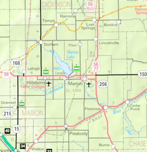
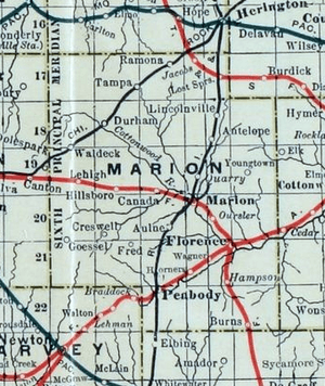
Oursler is a ghost town located in Marion County, Kansas, United States. A ghost town is a place where most or all people have left, and few or no buildings remain. Oursler was once a small community situated about 3.5 miles southeast of Marion, right next to a former railroad line. Today, you won't find any buildings left of this old town.
History of Oursler

Early Beginnings
For thousands of years, the wide-open Great Plains of North America were home to nomadic Native American tribes. Later, from the 1500s to the 1700s, the Kingdom of France claimed large parts of North America. In 1762, France secretly gave this land to Spain.
Becoming Part of the U.S.
In 1802, Spain returned most of the land to France. Then, in 1803, the United States bought a huge area of land, including what is now Kansas, from France. This deal was called the Louisiana Purchase. It added 828,000 square miles to the U.S. for a very low price.
In 1854, the Kansas Territory was set up. In 1861, Kansas officially became the 34th U.S. state. Marion County, where Oursler would later be, was created in 1855.
The Railroad and Oursler's Founding
In 1875, leaders in Marion started talking about building a railroad line from Florence. By 1878, the Atchison, Topeka and Santa Fe Railway teamed up with people from Marion County and McPherson County to create the Marion and McPherson Railway Company.
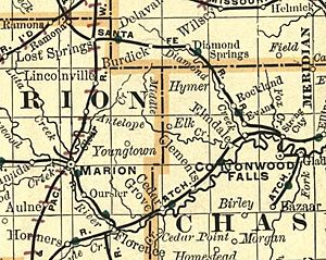
In 1879, a new railroad branch line was built. It went from Florence through the future site of Oursler to Marion. It then continued west to McPherson. This line was later extended further west. The Atchison, Topeka and Santa Fe Railway managed and operated this new line.
Oursler was named after W.E.M. Oursler. He moved to Kansas in 1870 and ran a post office from his home for many years. Once the railroad was built, a train station (depot) was set up near his place. Mail was delivered to this station every day. Besides the post office, Oursler also had a brick factory and a small grocery store. On October 17, 1877, W.E.M. Oursler and his wife officially planned out a small town called Oursler, which was two blocks big.
Oursler Becomes a Ghost Town
The railroad line that ran through Oursler was no longer used after 1968. Without the railroad, the community slowly faded away.
Today, there are no buildings or important landmarks left in Oursler. This is why it is now known as a ghost town.
Geography of Oursler
Oursler was located at the coordinates 38°17′23″N, 96°58′52″W. This area is part of the beautiful Flint Hills and Great Plains regions of Kansas. The town was on a triangular piece of land at the southwest corner of 150th Street and Union Road in Marion County, Kansas. It was bordered by these two roads and the railroad line to its southwest.
 | DeHart Hubbard |
 | Wilma Rudolph |
 | Jesse Owens |
 | Jackie Joyner-Kersee |
 | Major Taylor |


