
Peace River (Florida) facts for kids
The Peace River is a cool river in the southwestern part of Florida, in the U.S.A.. It starts where two creeks, Saddle Creek and Peace Creek, meet up northeast of Bartow in Polk County. From there, it flows south through places like Fort Meade and Hardee County to Arcadia in DeSoto County. Then it turns southwest and empties into the Charlotte Harbor at Punta Gorda in Charlotte County.

The river is about 106 miles (171 km) long. It collects water from an area of 1,367 square miles (3,540 km²). A major road, U.S. Highway 17, runs close to the river for most of its journey.
Long ago, in the 1500s, Spanish explorers called it Rio de la Paz, which means River of Peace. Later maps showed it as Peas Creek or Pease Creek. The Creek and later the Seminole Native Americans called it Talakchopcohatchee, which means River of Long Peas. Other towns along the Peace River include Wauchula and Zolfo Springs.
Contents
Why the Peace River is Important
The fresh water from the Peace River is super important for Charlotte Harbor. It helps keep the water just salty enough for many amazing creatures to live there. This includes endangered species (animals that are at risk of disappearing forever), as well as lots of shrimp, crabs, and fish that people catch for food and fun.
The river has always been a key resource for the people living nearby. In the past, the rich fishing and wildlife in Charlotte Harbor supported large groups of people, like the Caloosahatchee culture and later the Calusa tribe. Today, the Peace River provides over six million gallons of drinking water every day to the people in the area. It's also a popular spot for canoeing!
Fossils and the Bone Valley
The Peace River area is famous for its amazing fossil finds! Many fossils from ancient times, like the Pleistocene and Miocene epochs, have been discovered here. These discoveries eventually led to finding large deposits of phosphate, a mineral used in fertilizers.
Most of the northern part of the Peace River's watershed (the area that drains into the river) is known as the Bone Valley. This name comes from all the ancient bones and fossils found there!
Hunting for Fossils
The Peace River is a very popular place for people who love to hunt for fossils. They dig and sift through the river gravel to find fossilized shark teeth and bones from prehistoric mammals. There are even campgrounds and canoe rental places that help fossil hunters. The towns of Wauchula, Zolfo Springs, and Arcadia are the main starting points for these adventures.
Gallery
-
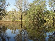
Backflow from Peace River after hurricanes
-
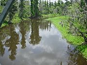
Streamflow changes along upper Peace River
-
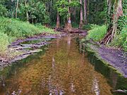
Flow changes along upper Peace River
-
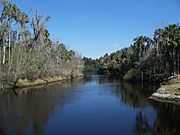
Zolfo Springs on the Peace River


Images for kids
-
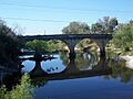
Spessard L Holland Bridge carrying SR-60
-
Homeland Garfield Road bridge
-
John Singletary Bridge carrying US-98
-
Mt Pisgah Road bridge
-
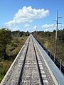
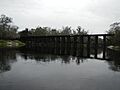
CSX Transportation railway bridge
-
County Line Road bridge
-
Lake Branch Road bridge
-
Heard Bridge
-
SR-636 (East Main Street) bridge
-
Griffin Road bridge
-

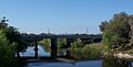
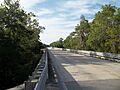
Doyle E. Carlton Bridge carrying US 17
-
FL 64 bridge
-
NE Brownville Street bridge
-
Seminole Gulf Railway bridge
-
Old SR 70 bridge, now a footbridge
-
FL 70 bridge
-
CR 760 bridge
-
CR 761 bridge
-
Interstate 75 bridge
-
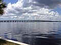
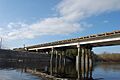
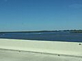
Barron Collier Bridge and Gilchrist Bridge carrying US 41


