Red Lake (Arizona–New Mexico) facts for kids
Quick facts for kids Red Lake |
|
|---|---|
| Location | Navajo Nation-(Northeast Arizona) Apache County, Arizona / McKinley County, New Mexico, Southwestern United States |
| Coordinates | 35°55′47″N 109°2′25″W / 35.92972°N 109.04028°W |
| Primary inflows | Black Creek |
| Primary outflows | Black Creek |
| Basin countries | United States |
| Max. length | 4.81 km (2.99 mi) |
| Max. width | 2.7 km (1.7 mi) |
| Surface area | 611 acres (247 ha) |
| Max. depth | 5 ft (1.5 m) |
| Surface elevation | 7,150 ft (2,180 m) |
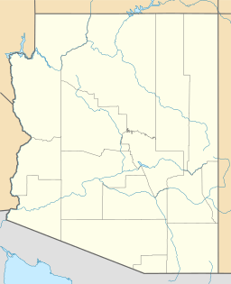
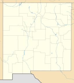
Red Lake is a body of water located near the town of Navajo, New Mexico. It lies in the Red Valley, stretching across parts of McKinley County, New Mexico, and Apache County, Arizona. The lake is quite high up, with its surface about 7,150 ft (2,180 m) above sea level. The town of Navajo, New Mexico, is found on the southeast side of the lake.
About Red Lake: Location and Size
Red Lake is a fairly small body of water. It is about 3 miles (5 km) long and half as wide. The lake mostly runs from north to south. On its eastern side, you will find Reservation Route 12. This road goes north from Window Rock, Arizona to Navajo, New Mexico.
Where is Red Lake located?
Red Lake sits on the eastern edge of the Defiance Plateau. This plateau is a long, flat area that also runs north to south. To the north of the lake is Canyon de Chelly. The Chuska Mountains are to the northeast.
Only about a quarter of Red Lake is in Arizona. The lake is nestled in the southwest foothills of the Chuska Mountains. Several small streams and washes flow into the lake, including the start of Black Creek.
The Journey of Black Creek
From Red Lake, Black Creek flows directly south. It runs along the central and southeast border of the Defiance Plateau. This part of Black Creek in Arizona runs parallel to the western border of New Mexico.
Later, Black Creek turns southwest. It then joins the Puerco River. This meeting point is southeast of Houck and southwest of Allentown. Both of these towns are located along Interstate 40. The interstate highway follows the northern side of the Puerco River in this area.
 | Jessica Watkins |
 | Robert Henry Lawrence Jr. |
 | Mae Jemison |
 | Sian Proctor |
 | Guion Bluford |


