Sarcobatus Flat facts for kids
Quick facts for kids Sarcobatus Flat |
|
|---|---|
| Geography |
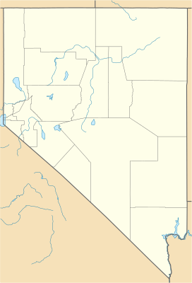
Sarcobatus Flat is a special kind of valley in western Nye County, Nevada. It's called a "closed valley" because water doesn't flow out of it to the ocean. Instead, any rain or snow that falls here stays within the valley, often forming temporary lakes that dry up. This flat area is located between the towns of Goldfield and Beatty.
Contents
Discovering Sarcobatus Flat
Sarcobatus Flat is a large, flat area surrounded by mountains. It's a unique part of the desert landscape in Nevada. Understanding this valley helps us learn about how landforms are created.
Where is Sarcobatus Flat?
This valley has natural borders all around it. The Bullfrog Hills are to the south. The Grapevine Mountains and Bonnie Claire Flat are on its western side. To the east and north, you'll find Pahute Mesa. The flat also connects to Lida Valley and Stonewall Flat in the north.
Roads and Nearby Places
Getting around Sarcobatus Flat is easy thanks to a main road. US Route 95 runs along the northeast part of the flat. This highway connects Springdale, at the north end of the Bullfrog Hills, to Scotty's Junction. From Scotty's Junction, Nevada State Route 267 heads southeast. This road leads to Bonnie Claire and then into Death Valley National Park in California. A small part of Death Valley National Park actually reaches into the southern area of Sarcobatus Flat. Also, a section of the Nellis Air Force Base is located along the northeast edge of the flat.
Exploring the Landscape
The lowest point in Sarcobatus Flat is a salt flat. This area is just east of Bonnie Claire and sits at about 3,943 feet (1,202 meters) above sea level. Not far from this low point, Bonnie Peak rises to 4,969 feet (1,515 meters). Further south, the impressive Grapevine Peak reaches 8,737 feet (2,663 meters). This peak is part of the Grapevine Mountains, near the California border.
Part of a Bigger System
Sarcobatus Flat is part of a larger group of landforms. It belongs to the Central Nevada Desert Basins. Along with Cactus Flat to the northeast, it forms the bigger Cactus-Sarcobatus Watershed. A watershed is an area of land where all the water drains into a single point. The flat is also considered part of the Tonopah Basin. It is separate from the Amargosa Valley of the Mojave Desert to the south.
 | Chris Smalls |
 | Fred Hampton |
 | Ralph Abernathy |


