Skull Valley (Utah) facts for kids
Quick facts for kids Skull Valley |
|
|---|---|

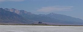
View south-southeast, from Timpie area (northeast valley at Stansbury Mountains from Great Salt Lake (saltflats))
|
|
| Length | 40 mi (64 km) |
| Width | 12 mi (19 km) |
| Geography | |
| Communities | |
| Borders on | |
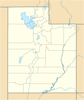
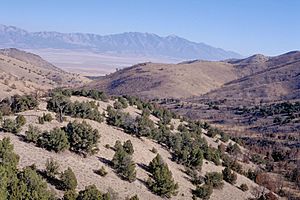
Skull Valley is a long valley located in eastern Tooele County, Utah, United States. It stretches for about 40 miles (64 km) and is found southwest of the Great Salt Lake. The valley mostly runs from north to south. However, it gently curves northeast to meet Stansbury Bay, which is next to Stansbury Island.
The southern and southwestern parts of Skull Valley meet the southeastern Great Salt Lake Desert near Dugway. This area is also bordered by a ridge that extends southeast from the Cedar Mountains.
The Skull Valley Indian Reservation is located in the southern part of the valley. It sits at the base of the southwestern Stansbury Mountains. Nearby to the southeast, the valley becomes narrower. This happens between the Stansbury Mountains and the Cedar Mountains to the west. This area has many creeks flowing from the Stansbury Mountains. It also has natural springs like Willow Patch Springs and Scribner Spring. Creeks and springs from the northwestern Onaqui Mountains also provide water to the southeastern valley.
Exploring Skull Valley's Shape and Surroundings

Skull Valley generally runs north to south. It gets a bit narrower as it reaches the northeast, towards Stansbury Bay. The Lakeside Mountains near Delle and the northwestern Stansbury Mountains near Timpie create this narrower part of the valley. Skull Valley, along with parts of these mountain ranges, forms the southwestern edge of the Great Salt Lake.
The valley also narrows towards the southeast where the springs are located. To the southwest of this area, there is a ridgeline about 16 miles (26 km) long. This ridge extends from the western edge of the Cedar Mountains. It helps separate the Dugway Proving Grounds and the Great Salt Lake Desert from the southwestern part of Skull Valley.
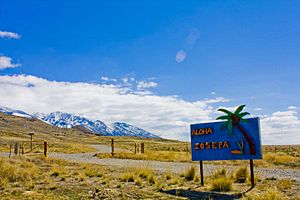
The very center of the valley is located just west of Iosepa. This central area has many dips and low-lying spots. These are formed by water from nearby washes and creeks that can flood the land. This flooded area is about four miles (6.4 km) wide at its widest point, southwest of Iosepa. It stretches seven miles (11 km) north towards the salt flats, which are connected to the Great Salt Lake.
 | Delilah Pierce |
 | Gordon Parks |
 | Augusta Savage |
 | Charles Ethan Porter |


