Snohomish River facts for kids
Quick facts for kids Snohomish River |
|
|---|---|
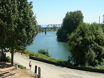
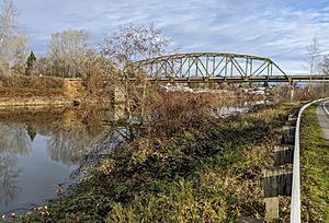
Snohomish River at Snohomish
|
|
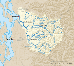
Map of the Snohomish River and tributaries
|
|
|
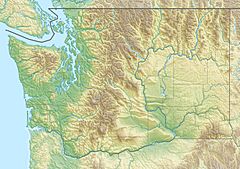
Mouth of the Snohomish River in Washington
|
|
| Country | United States |
| State | Washington |
| County | Snohomish |
| Physical characteristics | |
| Main source | Confluence of the Skykomish River and the Snoqualmie River Monroe 47°49′48″N 122°2′47″W / 47.83000°N 122.04639°W |
| River mouth | Puget Sound Port Gardner 0 m (0 ft) 48°1′16″N 122°12′30″W / 48.02111°N 122.20833°W |
| Length | 20 mi (32 km) |
| Basin features | |
| Basin size | 1,856 sq mi (4,810 km2) |
The Snohomish River is an important river in Snohomish County, Washington state, United States. It is formed when two other rivers, the Skykomish and Snoqualmie, join together. This happens near the town of Monroe.
The Snohomish River then flows towards the northwest. It eventually reaches Port Gardner Bay, which is part of Puget Sound. This area is located between the cities of Everett and Marysville. The Pilchuck River is the main stream that flows into the Snohomish River. It joins the river at Snohomish. The entire river system helps drain the western side of the Cascade Mountains. This area stretches from Snoqualmie Pass to north of Stevens Pass.
The Snohomish River carries a lot of water. Near Monroe, its average flow is about 9,500 cubic feet per second (269 cubic meters per second). To give you an idea, the Columbia River, which is Washington's largest river, has a much bigger average flow. It carries about 265,000 cubic feet per second (7,500 cubic meters per second).
Where the Snohomish River Flows
The Snohomish River begins where the Snoqualmie River and Skykomish River meet. This meeting point is just west of Monroe. Both of these rivers start high up in the Cascade Mountains. They collect water from the western slopes of these mountains. This includes parts of southeastern Snohomish County and northeastern King County.
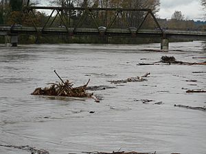
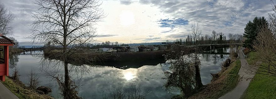
From where it starts, the Snohomish River generally flows northwest. It passes under State Route 522. It also flows alongside Lord Hill Park. Then, it reaches downtown Snohomish. Here, the Pilchuck River, its main tributary, joins it. The river then flows under State Route 9.
After Snohomish, the river continues its northwest journey. It flows through a wide, flat area called a floodplain. This area forms the eastern edge of the city of Everett. The last few miles of the river in Everett form the Snohomish River estuary. An estuary is where a river meets the sea. This area has wetlands and mudflats. They are spread out across different islands and river channels.
Several bridges cross the river in this area. These include U.S. 2, Interstate 5, and State Route 529. Finally, the river empties into Possession Sound. This sound is part of Puget Sound. It is located between Everett and Marysville.
See also
 In Spanish: Río Snohomish para niños
 | Precious Adams |
 | Lauren Anderson |
 | Janet Collins |


