Sublett Range facts for kids
Quick facts for kids Sublett Range |
|
|---|---|
| Highest point | |
| Peak | Sublett Range High Point |
| Elevation | 7,492 ft (2,284 m) |
| Dimensions | |
| Length | 55 mi (89 km) N/S |
| Width | 33 mi (53 km) E/W |
| Area | 886 sq mi (2,290 km2) |
| Geography | |
| Country | United States |
| State | Idaho |
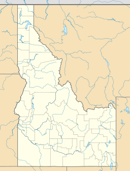
The Sublett Range is a chain of mountains located mostly in Idaho, a state in the United States. A small part of these mountains also extends into Utah. These mountains are found across different counties in Idaho, including Cassia, Oneida, and Power counties. They also reach into Box Elder County in Utah.
Contents
Exploring the Sublett Range
The Sublett Range is a beautiful area with many interesting features. It is part of a larger region known as the Basin and Range Province. This province is famous for its many mountain ranges separated by flat valleys.
Highest Point
The tallest peak in the Sublett Range is called the Sublett Range High Point. It stands at about 7,492 feet (or 2,284 meters) above sea level. Imagine standing on top of that!
Where Are These Mountains?
The northern part of the Sublett Range is part of the Minidoka Ranger District. This district is a section of the Sawtooth National Forest, a large protected area.
The mountains are surrounded by other natural features and towns. To the southwest, you'll find the Raft River and Black Pine mountains. The Albion Mountains are located to the west.
Water Flow
Water from the northern parts of the Sublett Range flows into the Snake River. The Snake River is a major tributary that eventually joins the Columbia River. This means the water from these mountains travels a long way to the Pacific Ocean!
However, water from the southern parts of the range flows in a different direction. It drains into the Great Salt Lake in Utah. This lake is known for being very salty.
Nearby Towns and Roads
Several towns are close to the Sublett Range. The town of Snowville, Utah is to the south of the mountains. Malta, Idaho is located to the west, and American Falls, Idaho is to the north.
If you're traveling by car, Interstate 84 passes just south and west of the mountains. This highway makes it easier to access the area.
Who Was Sublette?
The Sublett Range was named after a famous trapper named William Sublette. He lived and worked in this area back in the 1830s. Trappers were people who hunted animals for their fur, which was a big business back then.
Plants and Animals
Most of the Sublett Range is covered in what's called sagebrush steppe. This is a type of dry grassland with lots of sagebrush plants. You'll also find open meadows.
In some cooler, shadier spots, especially on the northern slopes, you might see pockets of Douglas fir trees. These are tall evergreen trees. The types of plants found here support various animals that live in the range.
 | Janet Taylor Pickett |
 | Synthia Saint James |
 | Howardena Pindell |
 | Faith Ringgold |


