Truckee Range facts for kids
Quick facts for kids Truckee Range |
|
|---|---|
| Highest point | |
| Peak | Juniper Peak |
| Elevation | 2,197 m (7,208 ft) |
| Geography | |
| Country | United States |
| State | Nevada |
| District | Churchill and Washoe counties |
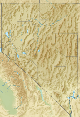
| Range coordinates | 39°47′52″N 119°11′03″W / 39.79778°N 119.18417°W |
| Topo map | USGS Reno, Nevada 30x60 |
The Truckee Range is a group of mountains in western Nevada, United States. It stretches for about 30 miles from north to south. The border between Washoe County and Churchill County runs right along the top of these mountains.
Where is the Truckee Range?
The Truckee Range is surrounded by other interesting places. To the south, you'll find the Fernley Sink. The Truckee River, which gives the mountains their name, flows through a valley to the west. Across that valley is another mountain range called the Pah Rah Range.
To the east of the Truckee Range is a flat area known as Hot Springs Flat. If you head north, you'll find Coyote Canyon. This canyon separates the Truckee Range from the Nightingale Mountains.
What are the Tallest Peaks?
The Truckee Range has several important peaks, or mountain tops. From north to south, these are:
- Black Warrior Peak: This peak is about 6,338 feet (1,932 meters) tall. It looks like a round top sitting on a lower ridge. Even though it's not the tallest, it stands out against the eastern sky near the southern part of Pyramid Lake.
- Juniper Peak: This is the highest point in the range, reaching about 7,209 feet (2,197 meters) high.
- Two Tips: This peak is about 7,074 feet (2,156 meters) tall.
What's Inside the Mountains?
The Truckee Range has many old mining claims. These are places where people once looked for valuable minerals. However, there are no active mines working in the mountains today.
 | Audre Lorde |
 | John Berry Meachum |
 | Ferdinand Lee Barnett |


