U.S. National Geodetic Survey facts for kids
The National Geodetic Survey (NGS) is a United States government agency. It helps define and manage a national coordinate system. This system is super important for things like transportation, communication, mapping, and many science projects. Since 1970, NGS has been part of the National Oceanic and Atmospheric Administration (NOAA). NOAA is a division within the Department of Commerce.

Contents
History of the National Geodetic Survey
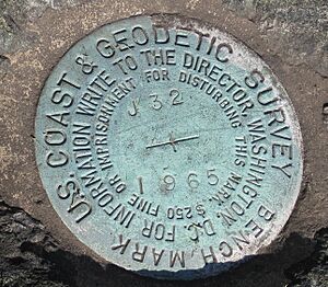
The National Geodetic Survey has a long and interesting history. It started way back in 1807 as the Survey of the Coast. This was the first scientific agency of the U.S. federal government.
From Coast Survey to Geodetic Survey
In 1836, its name changed to the United States Coast Survey. Later, in 1878, it became the United States Coast and Geodetic Survey. This new name showed that geodesy (the science of measuring Earth's shape) was becoming a bigger part of its work.
NGS Joins NOAA
When NOAA was created in 1970, the Coast and Geodetic Survey was split up. Its important tasks were given to different NOAA offices. The geodetic (Earth-measuring) jobs went to the new National Geodetic Survey. NGS became part of NOAA's National Ocean Survey, which is now called the National Ocean Service.
First Woman Director
In 2009, Juliana P. Blackwell became the Director of NGS. She was the first woman to lead NGS or any of its older organizations.
What the National Geodetic Survey Does
The National Geodetic Survey is a key part of NOAA's National Ocean Service. Its main job is to keep up the National Spatial Reference System (NSRS). This system is like a giant, consistent map for the entire United States.
Understanding the NSRS
The NSRS defines things like latitude, longitude, height, and gravity across the United States. It helps everyone know exactly where things are. NGS makes sure the NSRS is accurate and connected to the global International Terrestrial Reference Frame (ITRF).
Parts of the NSRS
The NSRS has two main parts:
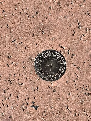
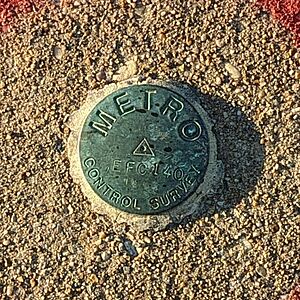
- Geometric part: This uses the geodetic datum called NAD83. It defines the 3D positions of points in the U.S. You can access this through NGS's survey markers or the CORS network. CORS stands for Continuously Operating Reference Station. It uses GPS antennas.
- Physical part: This deals with height. It uses the vertical datum NAVD88. This datum uses orthometric heights, which are measured by leveling.
Gravity and Earth's Shape
Because height is linked to Earth's gravity, NGS also collects gravity measurements. It creates models of the geoid. The geoid is like the true shape of sea level around the Earth. NGS also makes sure the NSRS stays accurate over time. This is important because the North American plate is always moving and changing.
New Datums for the Future
NGS released new datums in 2022.
- The North American Terrestrial Reference Frame of 2022 (NATRF2022) replaced NAD83. It defines how the North American plate relates to the ITRF. Other U.S. territories have their own datums.
- The North American-Pacific Geopotential Datum of 2022 (NAPGD2022) replaced NAVD88. It defines the height system for the U.S. and its territories. This new system uses a very accurate geoid model. This model helps relate heights measured by GPS to orthometric heights. It means less need for future leveling projects. This geoid model uses gravity data from NGS's GRAV-D program. It also uses data from satellites like GRACE and GOCE.
Other Services NGS Provides
NGS offers many other helpful services:
- It maps how shorelines change in the U.S.
- It provides aerial images of areas hit by natural disasters. This helps emergency teams quickly see damage.
- The Online Positioning and User Service (OPUS) helps users process their GPS data. It gives them accurate position results within the NSRS.
- The agency also has tools to convert data between different datums.
See also
- Height Modernization
- Surveying
- Topography
 | Sharif Bey |
 | Hale Woodruff |
 | Richmond Barthé |
 | Purvis Young |


