Windy Hill, Renfrewshire facts for kids
Quick facts for kids Windy Hill |
|
|---|---|
 |
|
| Highest point | |
| Elevation | 316 m (1,037 ft) |
| Prominence | 52 |
| Listing | TuMP |
| Geography | |
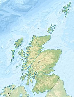
| Location | Renfrewshire, Scotland |
| OS grid | NS 3183 6374 |
| Topo map | OS Landranger 63 |
| Geology | |
| Type of rock | Igneous rocks |
| Climbing | |
| Easiest route | Hike |
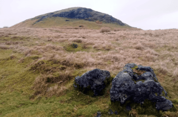
Windy Hill is a hill in Renfrewshire, Scotland. It stands 316 meters (about 1,037 feet) tall. This makes it one of the smaller hills known as "TuMPs" in the Lowlands region of Scotland.
Where is Windy Hill?
Windy Hill is located on the eastern edge of the River Calder area. This area collects water that flows into the river. The hill is also part of the large Clyde Muirshiel Regional Park.
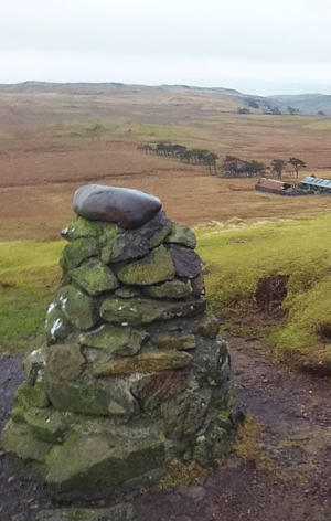
The very top of the hill, called the summit, can be found using a special map code: NS 3183 6374. This code is part of the Ordnance Survey National Grid system used in the UK. Interestingly, a famous house designed by Charles Rennie Mackintosh is also called Windy Hill. That house is in Kilmacolm, a few miles from the hill itself.
How Windy Hill Was Formed
Windy Hill is actually what's left of an ancient volcanic plug. Imagine a volcano that was once active. When it stopped erupting, the magma (molten rock) inside its vent cooled down and hardened. Over millions of years, the softer rock around this hardened plug wore away, leaving the harder plug standing tall as a hill.
Near Windy Hill, you can see a special type of soil called a bole horizon. This soil layer is more than 2 meters thick! It forms when igneous rocks (rocks made from cooled magma or lava) break down over a very long time.
Visiting Windy Hill
It's easy to reach the top of Windy Hill. You can start from the Muirshiel visitor center and follow a clear, well-kept path. From the summit, you get amazing views of the area around you. The walk is considered a great outdoor activity, even for children.
 | William M. Jackson |
 | Juan E. Gilbert |
 | Neil deGrasse Tyson |


