Aravaipa Creek facts for kids
Quick facts for kids Aravaipa Creek |
|
|---|---|

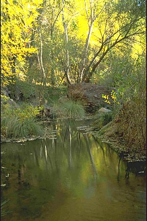
Aravaipa Creek in Aravaipa Canyon Wilderness
|
|
|
Central Aravaipa Valley and Creek
|
|
| Country | United States |
| Cities | Mammoth–Winkelman |
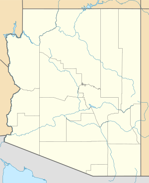
| Location | Graham County, Aravaipa Valley (northeast Sonoran Desert), Arizona |
| Physical characteristics | |
| Main source | 8,889 ft (2,709 m) above sea level |
| River mouth | San Pedro River south of Winkelman 32°50′17″N 110°42′56″W / 32.83814°N 110.71568°W |
| Length | 55 mi (89 km) |
| Basin features | |
| River system | Gila River |
| Borders |
|
Aravaipa Creek is an important stream in Graham County, Arizona. It flows through a beautiful area surrounded by mountains. These mountains include the Galiuro Mountains, the Santa Teresa Mountains, and the Pinaleño Mountains. They are part of a special region called the Madrean Sky Islands. This area has high mountains that rise like islands from the desert.
Contents
Where Aravaipa Creek Starts and Flows
Aravaipa Creek begins high up in the Galiuro Mountains. It starts near Durkee Canyon and Blue Peak, about 8,889 feet (2,710 meters) above sea level. From there, the creek flows generally northwest.
Journey Through Aravaipa Valley
The creek travels through a narrow valley called the Aravaipa Valley. The Pinaleño Mountains are on the east side of this valley. The Santa Teresa Mountains are on the northeast side. As it flows, the creek follows the edge of the Galiuro Mountains. It moves northwest, then west, and finally southwest.
Meeting the San Pedro River
Aravaipa Creek eventually reaches the San Pedro River. This meeting point is a few miles south of a town called Dudleyville. The creek's journey covers about 55 miles (89 kilometers) in total.
Towns and Access Along the Creek
Several small towns and roads are found near Aravaipa Creek. These places help people access the beautiful natural areas.
Klondyke and Nearby Areas
The town of Klondyke is located in the middle of the Aravaipa Valley. It is about 35 miles (56 kilometers) west of Eden, which is on U.S. Route 70. You can also get to Klondyke using Arizona State Route 266. This route goes to Bonita and then continues on a gravel road north through the valley.
Accessing Bonita
Bonita can also be reached by a gravel road coming north from Willcox. The former town of Aravaipa is located at the end of the Klondyke Road. It sits on the slopes of the Santa Teresa Mountains, north of Klondyke.
Aravaipa Canyon Wilderness
One of the most famous parts of Aravaipa Creek is the Aravaipa Canyon Wilderness. This protected area is located at the north end of the Galiuro Mountains.
Creek's Path Through the Canyon
The creek flows northwest and then southwest through this canyon. It travels about 9 miles (14 kilometers) downstream. After leaving the canyon, it meets the San Pedro River and Arizona State Route 77. This area is between Dudleyville and Mammoth.
Visiting the Wilderness
To reach the eastern part of the Aravaipa Canyon Wilderness, you can travel north from Klondyke on the Klondyke Road. This wilderness area is known for its stunning natural beauty and is a popular spot for outdoor activities.
 | Dorothy Vaughan |
 | Charles Henry Turner |
 | Hildrus Poindexter |
 | Henry Cecil McBay |


