Culley Run facts for kids
Quick facts for kids Culley Run |
|
|---|---|

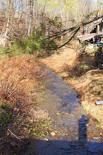
Culley Run looking upstream
|
|
| Other name(s) | Cully Run, Colley Run |
| Physical characteristics | |
| Main source | valley between Steinbuck Road and Cully Run Road in Benton Township, Columbia County, Pennsylvania between 860 and 880 feet (260 and 270 m) |
| River mouth | Fishing Creek in Benton Township, Columbia County, Pennsylvania 718 ft (219 m) 41°10′38″N 76°23′13″W / 41.17727°N 76.38692°W |
| Length | 1.45 mi (2.33 km) |
| Basin features | |
| Progression | Fishing Creek → Susquehanna River → Chesapeake Bay |
| Basin size | 1.45 sq mi (3.8 km2) |
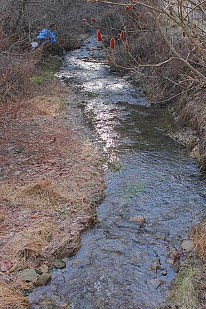
Culley Run is a small stream, also known as Cully Run or Colley Run. It flows through Benton Township in Columbia County, Pennsylvania. This stream is about 1.4 miles (2.3 km) long. It eventually flows into Fishing Creek. The area of land that drains into Culley Run is about 1.45 square miles (3.8 km2). You can find different types of rocks and soil in its watershed, like shale, sandstone, and glacial till.
Contents
Where Does Culley Run Flow?
Culley Run starts in a valley in Benton Township. It begins between Steinbuck Road and Cully Run Road. The stream first flows southeast, following along Cully Run Road.
Then, it turns east for a short distance before turning south, still next to the road. After a bit, the stream crosses Pennsylvania Route 254. It then flows east-southeast for a while, running alongside Pennsylvania Route 254. It crosses the road again further downstream. Finally, Culley Run meets Fishing Creek. This meeting point is not far from a community called Maple Grove.
Culley Run joins Fishing Creek about 21.16 miles (34.05 km) upstream from where Fishing Creek itself ends.
What is Culley Run Like?
The land around the beginning of Culley Run is higher up. It is about 860 to 880 feet (260 to 270 m) above sea level. Where the stream flows into Fishing Creek, the elevation is lower, around 718 feet (219 m) above sea level.
Rocks and Soil Around the Stream
In the lower parts of Culley Run, you can find a type of soil called alluvium. This soil is made up of layers of sand, silt, gravel, and even some large boulders. It can be about 6 feet (1.8 m) thick.
You might also see colluvium nearby. This is a mix of shale and sandstone pieces that have moved down hillsides. Higher up in the stream's watershed, there's a type of glacial till called the Illinoian Till. This till was left behind by ancient glaciers. The solid rock underneath the ground, called bedrock, in this area contains red and gray sandstone and shale.
Bridges and the Watershed
There is a bridge that carries Pennsylvania Route 254 over Culley Run.
The entire area of land that drains water into Culley Run is called its watershed. This watershed covers about 1.45 square miles (3.8 km2). Culley Run is located entirely within the Benton area, as mapped by the United States Geological Survey.
Why is it Called Culley Run?
Culley Run was officially added to the Geographic Names Information System on August 2, 1979. This system keeps track of names for places like streams and mountains. Its special ID number there is 1172817.
In 2004, a group called the Columbia County Natural Areas Inventory suggested that Culley Run should be protected. This means they thought it was an important natural area.
The stream is sometimes called Colley Run. A writer named Walter M. Brasch wrote in his 1982 book that Colley Run might be the more correct name, even though it's officially known as Culley Run. He believed the stream was probably named after Alexander Colley, Sr.. Alexander Colley, Sr. was a surveyor and a teacher. He also served in the Pennsylvania government from 1822 to 1823.
 | Delilah Pierce |
 | Gordon Parks |
 | Augusta Savage |
 | Charles Ethan Porter |


