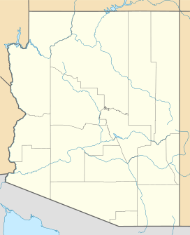
Dutch Flat (Arizona) facts for kids
Quick facts for kids Dutch Flat |
|
|---|---|
| Length | 25 mi (40 km) NW-SE |
| Width | 16 mi (26 km) |
| Geography | |
| Country | United States |
| State | Arizona |
| Region | Mojave Desert |
| Population centers | Yucca and Wikieup, AZ |
| Borders on |
List
|
| River | Sacramento Wash |
Dutch Flat is a large valley in Arizona. It is located in the southern part of Mohave County. This valley is south of the Sacramento Valley and Interstate 40.
This area is part of the Mojave Desert. The Mojave Desert stretches into northwest Arizona. Dutch Flat is next to the Sacramento Valley on its south side. The Sacramento Wash is a stream that flows west from the northwest edge of the valley. It eventually joins the Colorado River near Needles.
What is Dutch Flat?
Dutch Flat is a long valley, about 25 miles (40 kilometers) in length. It runs mostly from the northwest to the southeast. Many mountain ranges surround this valley.
To the south, Dutch Flat borders the Aubrey Peak Wilderness. This wilderness area is at the northwest end of the Rawhide Mountains. The smaller McCracken Mountains are also on the southeast side of the valley. They are located south of the Hualapai Mountains.
Exploring the Area
You can reach Dutch Flat from several directions. From the north, you can get there using Interstate 40. If you are coming from the east, you can access it from Wikieup. You can also reach the valley from the southwest, by way of Lake Havasu City.
Nearby Towns and Features
The town of Yucca is located on the northeast edge of Dutch Flat. Another small town, Franconia, Arizona, is southwest of Yucca, also along Interstate 40. The McCracken Mountains are a small mountain range found on the southeast border of the valley.
 | Tommie Smith |
 | Simone Manuel |
 | Shani Davis |
 | Simone Biles |
 | Alice Coachman |


