Finns Point facts for kids
Quick facts for kids Finns Point |
|
|---|---|
| Coordinates | 39°36′21″N 75°33′38″W / 39.60583°N 75.56056°W |
| Geology | Promonotory |
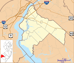
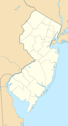
Finns Point is a small piece of land that sticks out into the Delaware River. It's located in Pennsville Township, New Jersey and also partly in New Castle County, Delaware. This area is special because of how the borders were drawn a long time ago.
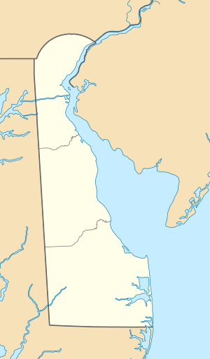
Part of Finns Point is actually inside Delaware, even though it's cut off from the rest of Delaware by the Delaware Bay. This part is sometimes called "The Baja" and is an exclave of Delaware. An exclave is like a piece of a country or state that is separated from the main part.
Finns Point is about 10 miles (16 km) south of Wilmington, Delaware. It's right across the Delaware River from New Castle, Delaware and the entrance to the Chesapeake & Delaware Canal. Pea Patch Island, which belongs to Delaware, sits in the river channel facing Finns Point.
The part of Finns Point that is in Delaware used to be a protected area called Killcohook National Wildlife Refuge. Now, the U.S. Army Corps of Engineers uses it as a place to store dredged material.
Contents
Early History of Finns Point
European Settlements in the 1600s
In the 1600s, when Europeans first came to this area, the Delaware River was known as the South River. The Salem River was called Varkens Kill, which means "Hog Creek."
People believe that the first settlement here was started by Finns in 1638. This was part of a colony called New Sweden. One of the families who settled there was the Anders Sinicka family.
A road along the shore south of the Port of Salem is still named Sinnicksons Landing Road. This name remembers a well-known family from Salem County.
New Haven Colony and Forts
In 1641, about 60 settlers from the New Haven Colony (which is now in Connecticut) bought land along the creek. In 1643, the Governor of New Sweden built Fort Nya Elfsborg. This fort was just east of what is now Salem, New Jersey. The governor allowed the settlers at Varkens Kill to stay if they promised to be loyal to Sweden.
In 1651, Fort Casimir was built directly across the river on the west bank of the Delaware. By 1655, the Dutch, from New Netherland, took control of the region. This lasted until 1664, when the English took over the settlements on the south banks of the Delaware. The land on the east banks became known as West Jersey. The town of Salem was founded in 1675 by John Fenwick, who was a Quaker.
Military Importance of Finns Point
Finns Point has been an important military location.
Finns Point National Cemetery
It is home to Finns Point National Cemetery. This is a military cemetery that was used during the American Civil War. It holds the graves of soldiers from both the Union and the Confederate armies. These soldiers died while they were at Fort Delaware on Pea Patch Island.
Fort Mott's Role in Protection
Finns Point was also the site of Fort Mott. This fort was built after the Civil War. It was used until World War I to protect important facilities upriver. These included the E.I. du Pont de Nemours and Company factories at Carneys Point Township, New Jersey. It also protected the port of Philadelphia. Today, Fort Mott is part of Fort Mott State Park, where visitors can explore its history.
 | Jessica Watkins |
 | Robert Henry Lawrence Jr. |
 | Mae Jemison |
 | Sian Proctor |
 | Guion Bluford |


