Greer County, Texas facts for kids
Quick facts for kids
Greer County
|
|
|---|---|

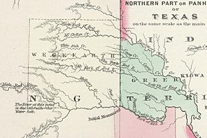
Greer County, Texas - c. 1885
|
|

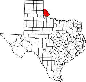
Location within the U.S. state of Texas
|
|
 Texas's location within the U.S. |
|
| Country | |
| State | |
| Existed | 1860-1896 |
| Named for | John Alexander Greer |
| Seat | Mangum |
| Population
(1890)
|
|
| • Total | 5,336 |
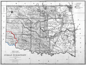
Greer County was a piece of land that both Texas and the United States claimed as their own. It was created by the Texas government on February 8, 1860. The county was named after John Alexander Greer, who was a Lieutenant Governor of Texas. Today, the area that was once Greer County is part of Oklahoma.
Contents
What Was Greer County?
Greer County was a special area because its ownership was not clear for many years. Texas believed the land belonged to them, while the United States government thought it was federal land. This disagreement led to a big legal battle.
Why Was There a Land Dispute?
The problem started with a map that was part of a very old agreement called the Adams–Onís Treaty from 1819. This treaty was supposed to set the boundary between lands claimed by France (to the north) and Spain (to the south). The border was supposed to follow the Red River until it reached the 100th meridian west.
However, there was a mistake on the map used for the treaty. The 100th meridian on that map was actually about 90 miles (145 km) east of where the real 100th meridian is. Also, the Red River splits into two main branches about 50 miles (80 km) east of the real 100th meridian.
- Texas claimed the land south of the North Fork of the Red River.
- The United States claimed the land north of the South Fork (which was later called the Prairie Dog Town Fork Red River).
This difference in understanding caused the long dispute over Greer County.
The Big Court Case: United States vs. Texas
Because of the disagreement, the issue went to the highest court in the country, the Supreme Court. This court case was called United States v. State of Texas.
On March 16, 1896, the Supreme Court made its decision. The Court ruled that the land, which was about 1.5 million acres (6,100 km²), actually belonged to the United States.
After this ruling, on May 4, 1896, the U.S. Congress officially made Greer County part of Oklahoma Territory. A special law, called the Greer County Homestead Law, was passed soon after. This law helped the Texas settlers who were already living there. It allowed them to keep the 160 acres (0.65 km²) they were living on and gave them the chance to buy another 160 acres.
How Greer County Changed Over Time
When Oklahoma officially became the 46th U.S. state on November 16, 1907, the area that was once "Greer County" was divided. It was split into several new counties:
- Greer County (a new county in Oklahoma)
- Jackson County
- Southwest Beckham County
Later, on May 22, 1909, Harmon County was also created from a part of the original Greer County area after people voted for it.
 | Kyle Baker |
 | Joseph Yoakum |
 | Laura Wheeler Waring |
 | Henry Ossawa Tanner |


