
Image: Location map of Clay County, Indiana

Size of this PNG preview of this SVG file: 700 × 600 pixels. Other resolution: 280 × 240 pixels.
Original image (SVG file, nominally 896 × 768 pixels, file size: 473 KB)
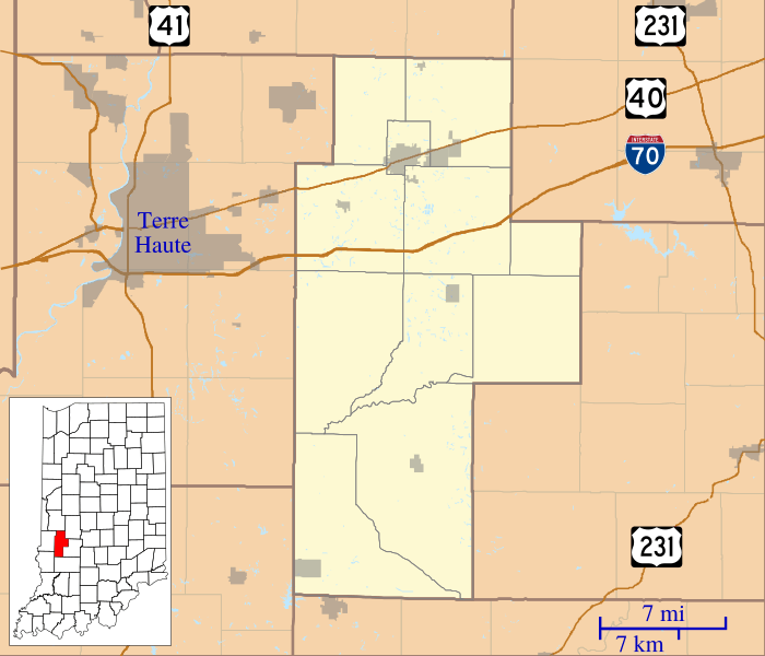
Description: This is a map of Clay County, Indiana, USA which includes incorporated settlements, township borders, and major highways.
Title: Location map of Clay County, Indiana
Credit: My own work, using custom-written MapScript applications with United States Census Bureau data
Author: Omnedon
Usage Terms: Public domain
License: Public domain
Attribution Required?: No
Image usage
The following 36 pages link to this image:
- Art, Indiana
- Ashboro, Indiana
- Asherville, Indiana
- Barrick Corner, Indiana
- Bee Ridge, Indiana
- Benwood, Indiana
- Billtown, Indiana
- Billville, Indiana
- Bogle Corner, Indiana
- Bowling Green, Indiana
- Brunswick, Clay County, Indiana
- Buchanan Corner, Indiana
- Cardonia, Indiana
- Cloverland, Indiana
- Coalmont, Indiana
- Cory, Indiana
- Cottage Hill, Indiana
- Hoffman Crossing, Indiana
- Hoosierville, Indiana
- Howesville, Indiana
- Lap Corner, Indiana
- Middlebury, Clay County, Indiana
- Old Hill, Indiana
- Perth, Indiana
- Poland, Indiana
- Pontiac, Indiana
- Prairie City, Indiana
- Purdy Hill, Indiana
- Roadman Corner, Indiana
- Saline City, Indiana
- Shady Lane, Indiana
- Shakamak State Park
- Six Points, Clay County, Indiana
- Stearleyville, Indiana
- Turner, Indiana
- Twin Beach, Indiana

All content from Kiddle encyclopedia articles (including the article images and facts) can be freely used under Attribution-ShareAlike license, unless stated otherwise.