
Image: Location map of Cumberland County, New Jersey

Size of this PNG preview of this SVG file: 700 × 600 pixels. Other resolution: 280 × 240 pixels.
Original image (SVG file, nominally 896 × 768 pixels, file size: 1.08 MB)
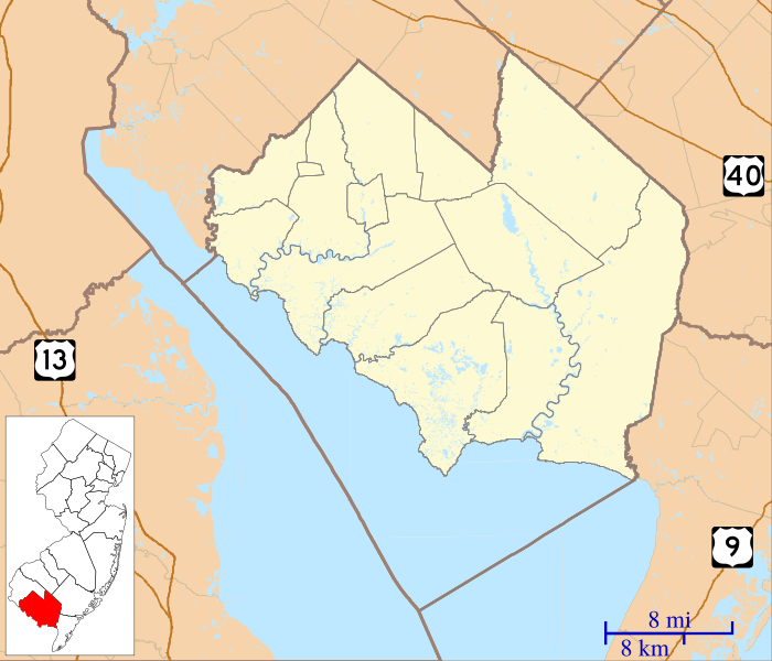
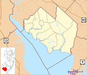
Description: This is a map of Cumberland County, New Jersey, USA which includes incorporated settlements, township borders, and major highways.
Title: Location map of Cumberland County, New Jersey
Credit: My own work, using custom-written MapScript applications with United States Census Bureau data
Author: Omnedon
Usage Terms: Public domain
License: Public domain
Attribution Required?: No
Image usage
The following 34 pages link to this image:
- Bowentown, New Jersey
- Bridgeton, New Jersey
- Buckshutem, New Jersey
- Caesar Hoskins Log Cabin
- Cohansey, New Jersey
- Commercial Township, New Jersey
- Cumberland, New Jersey
- Deerfield, New Jersey
- Delmont, New Jersey
- Dividing Creek, New Jersey
- Dorchester, New Jersey
- Downe Township, New Jersey
- East Point Light
- Fairfield Township, Cumberland County, New Jersey
- Fortescue, New Jersey
- Greenwich Township, Cumberland County, New Jersey
- Heislerville, New Jersey
- Hesstown, New Jersey
- Hopewell Township, Cumberland County, New Jersey
- Jericho, Cumberland County, New Jersey
- Lawrence Township, Cumberland County, New Jersey
- Leesburg, New Jersey
- Maurice River Township, New Jersey
- Mauricetown, New Jersey
- Newport, Cumberland County, New Jersey
- Port Elizabeth, New Jersey
- Roadstown, New Jersey
- Sea Breeze, New Jersey
- Seabrook, New Jersey
- Ship John Shoal Light
- Springtown, New Jersey
- Stow Creek Township, New Jersey
- Upper Deerfield Township, New Jersey
- Vineland, New Jersey

All content from Kiddle encyclopedia articles (including the article images and facts) can be freely used under Attribution-ShareAlike license, unless stated otherwise.