
Image: NZ-West Coast plain map
No higher resolution available.
NZ-West_Coast_plain_map.png (378 × 423 pixels, file size: 21 KB, MIME type: image/png)
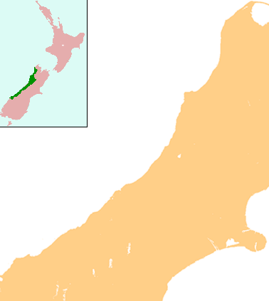
Description: Locator map for West Coast Region, New Zealand
Title: NZ-West Coast plain map
Credit: combination of Image:NZ-SI plain map.png and Image:Position of West Coast.png
Author: Grutness
Permission: public domain
Usage Terms: Public domain
License: Public domain
Attribution Required?: No
Image usage
The following 27 pages link to this image:
- Agassiz Glacier (New Zealand)
- Brunner, New Zealand
- Crushington, New Zealand
- Fox Glacier (town)
- Franz Josef Glacier
- Haupiri
- Hokitika Airport
- Kokatahi
- Lake Christabel
- Lake Daniell
- Lake Ianthe / Matahi
- Lake Mahinapua
- Lake Poerua
- Lendenfeld Peak
- Lyell, New Zealand
- Maruia
- Millerton, New Zealand
- Mount Cook Aerodrome
- Mount Rolleston
- Ruatapu, New Zealand
- Stockton, New Zealand
- Summerlea, New Zealand
- Te Kuha
- Waiuta
- Westport Airport (New Zealand)
- Whataroa
- Whataroa River

All content from Kiddle encyclopedia articles (including the article images and facts) can be freely used under Attribution-ShareAlike license, unless stated otherwise.