Jasper Lake (Alberta) facts for kids
Quick facts for kids Jasper Lake |
|
|---|---|

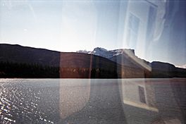
Jasper Lake and mountains across the shore as seen from the train
|
|
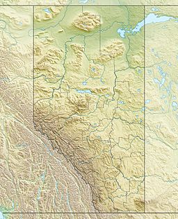
| Location | Jasper National Park, Alberta, Canada (near Jasper) |
| Coordinates | 53°5′N 118°2′W / 53.083°N 118.033°W |
| Primary inflows | Athabasca River |
| Primary outflows | Athabasca River |
| Basin countries | Canada |
| Max. length | 6 mi (9.7 km) |
| Max. width | 1–3 mi (1.6–4.8 km) |
Jasper Lake is a beautiful lake found in the Canadian Rockies! It's located inside Jasper National Park in Alberta, Canada. This lake is actually a wide part of the Athabasca River. It starts about 15 miles (24 km) northeast of the town of Jasper and stretches for about 6 miles (10 km) along the Yellowhead Highway.
Contents
Jasper Lake's Unique Sand Dunes
One very special thing about Jasper Lake is its sand dunes. This is the only sand dune area in the entire Canadian Rockies! These dunes were created at the edge of the lake during the last ice age. Since then, wind and water have been constantly changing their shape.
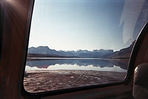
The lake acts like a giant filter. It removes tiny bits of silt and sand from the Athabasca River, letting them settle to the bottom. In the Autumn, when the water level drops, large areas of sand become visible and dry out. Strong westerly winds then pick up this dry sand and blow it down the valley.
In winter, these winds form two big sand dune islands near the northwest side of Jasper Lake. Behind these dunes, you can find strong clumps of spruce and balsam poplar trees. Other plants like grasses, rose bushes, and willows constantly battle against the wind and moving sand. The Jasper Lake sand dunes show how delicate nature's balance can be.
Mountains All Around
Jasper Lake is surrounded by amazing mountain ranges. You can see many of them from different spots around the lake.
Mountains from Southeast to Southwest
- Miette Range: Some of the tallest peaks here are Utopia Mountain (2,602 meters or 8,537 feet) and Roche Miette (2,316 meters or 7,600 feet).
- Jacques Range: Important peaks include Cinquefoil Mountain (2,259 meters), Roche Jacques (2,603 meters), and Mount Merlin (2,711 meters).
- Colin Range: This range includes Mount Colin (2,687 meters).
Mountains from Northwest to Northeast
- Victoria Cross Ranges: Six peaks in this range are named after brave Canadians who received the Victoria Cross medal.
- De Smet Range: Key peaks here are Roche de Smet (2,539 meters) and Mount Greenock (2,065 meters).
- Bosche Range: This range features Mount Aeolus (2,643 meters) and Roche à Bosche (2,123 meters).
Getting Around: Roads and Railways
Both trains and cars have special paths that go along Jasper Lake.
Train Tracks
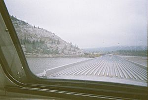
The Canadian National Railway tracks run along the northern edge of the lake. Some parts of the railway are built on raised paths called causeways. These causeways have created several smaller lakes next to the main one. Via Rail's passenger train, The Canadian, uses these same tracks. It travels from Toronto to Vancouver, giving passengers amazing views of the lake, sand dunes, and surrounding mountains. This area has been a popular spot for photographers for many years.
The Yellowhead Highway
The Yellowhead Highway (Highway 16) follows the southern shore of Jasper Lake. This highway was built on an old railway path. It also has parts that are causeways, which have created Edna and Talbot lakes. This highway is a major route for travel between Winnipeg and Edmonton in the east, and Jasper and other places to the west. It also helps people get to different parts of Jasper National Park.
 | Ernest Everett Just |
 | Mary Jackson |
 | Emmett Chappelle |
 | Marie Maynard Daly |


