List of places of worship in the City of Wakefield facts for kids
This article is a guide to the many different places where people worship in the City of Wakefield. You'll find out about churches, chapels, and other religious buildings that are open today.
Contents
Places of Worship Open Today
Ackworth
Ackworth is home to a couple of churches where people gather for worship.
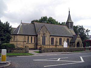
* All Saints' Church is located in Ackworth Moor Top. It's a Church of England church.
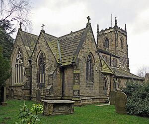
* St Cuthbert's Church is also a Church of England building, found in Ackworth itself.
Badsworth
Badsworth has one main church.
* St Mary's Church is a Church of England church in Badsworth.
Castleford
Castleford has many different places of worship, showing the variety of faiths in the area.
* All Saints' Church (town centre) is a Church of England church on Albion Street.
* All Saints' Church (Hightown) is another Church of England church, located in Hightown.
- Cutsyke Christian Church is on Leeds Road in Cutsyke.
* Gospel Hall on Pontefract Road is a Gospel church. It used to be the Pontefract Road Primitive Methodist Church.
* Holy Cross Church in Airedale is a Church of England church that serves the Airedale estate.
* St Edmund's Church is a Roman Catholic church on Queens Park Drive, also serving the Airedale estate.
* St Joseph's Church on Pontefract Road is a Roman Catholic church.
* St Michael's Church is a Church of England church on Smawthorne Lane.
* St Paul the Apostle is a Church of England church on Pontefract Road in Glasshoughton.
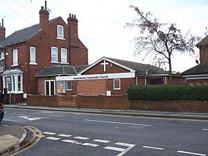
* Smawthorne Community Church on Beancroft Road is an Evangelical church.
* Trinity Methodist Church on Powell Street is a Methodist church. It opened in 1964.
* Townville Methodist Church is a Methodist church in Townville.
Featherstone
Featherstone also has several places for worship.
* Featherstone Methodist Church is a Methodist church in Featherstone.
* St Gerald Majella is a Roman Catholic church in Featherstone.
* St Thomas is a Church of England church in Featherstone.
* South Featherstone Gospel Hall is on Station Lane in Featherstone.
Horbury
To learn about places of worship in Horbury, you can check out the Religion section of the Horbury article.
Knottingley
Knottingley has a few different churches.
* Elim Pentecostal Church is a Pentecostal church on Tithe Barn Road.
* Knottingley United Reformed Church is a United Reformed Church in Knottingley.
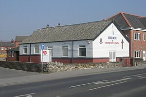
* Salvation Army Church is a Salvation Army church on Weeland Road.
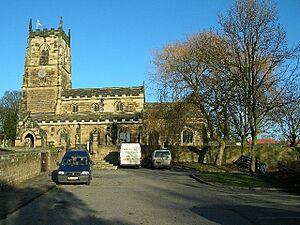
* St Botolph's Church is a Church of England church in Knottingley.
Normanton
Normanton has a notable Catholic church.
- St John the Baptist is a Roman Catholic church on Newland Lane. The land where it stands was once owned by the Knights of St John of Jerusalem.
Ossett
Ossett offers a variety of places for religious gatherings.
* Christ Church is a Church of England church in Ossett, opened in 1851.
* Holy Trinity Church is another Church of England church in Ossett.
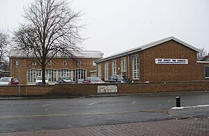
* The King's Way Church is a Methodist church in Ossett.
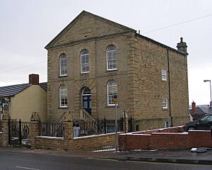
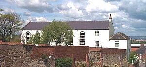
* Mount Zion Chapel on Queen Street is a Methodist chapel.
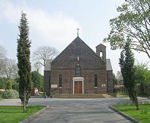
* St Ignatius is a Roman Catholic church on Storrs Hill Road.
* South Ossett Baptist Church is a Baptist church on Junction Lane.
Pontefract
Pontefract has many different places of worship for its community.
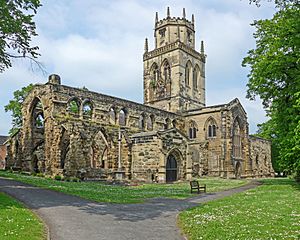
* All Saints' Church is a Church of England church on North Bailey Gate. The outer church was destroyed during the English Civil War, and a new church was built inside it, finished in 1967.
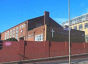
* Central Methodist Church is a Methodist church on Jubilee Way.
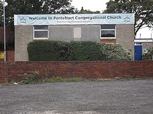
* Pontefract Congregational Church is a Congregational church on Finkle Street.
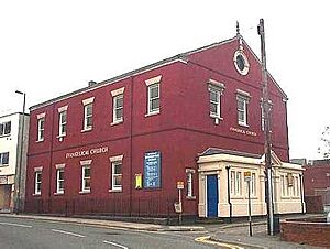
* The Evangelical Church is an Evangelical church on Finkle Street.
* Holy Family Church is a Roman Catholic church on Carleton Crest, serving the Chequerfield Estate.
* Kingdom Hall of the Jehovah's Witnesses is on Orchard Head Lane.
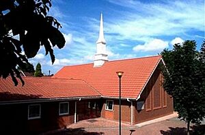
* Chapel of The Church of Jesus Christ of Latter-day Saints is on Park Villas Drive.
* Micklegate Methodist Church on Micklegate is a Methodist church. It was built in 1969 after the former Tanshelf Methodist Church burned down.
* Salvation Army Hall is on Maud's Yard.
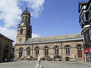
* St Giles' Church is a Church of England church in Market Place.
* St Joseph's Church is a Roman Catholic church on Back Street.
Wakefield
Wakefield, as the main city, has the largest number and variety of places of worship.
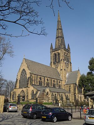
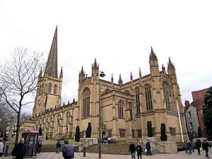
* Wakefield Cathedral (Cathedral Church of All Saints') is the main Church of England cathedral in Wakefield City Centre.
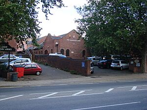
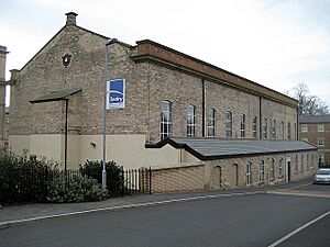
* Destiny Church on Chaloner Grove was once a theatre.
* Evangelical Free Church is an Evangelical church in Eastmoor.
* First Church of Christ Scientist is on Wentworth Street.
* Church of Jesus Christ and the Latter Day Saints is on Horbury Road.
* Light ^ Life Church on Clarion Street, Belle Vue, is a non-denominational church.
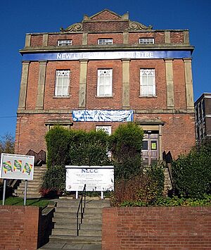
* New Life Christian Centre on George Street is a Pentecostal church.
* Outwood Methodist Church is a Methodist church in Outwood.
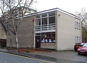
* Quaker Meeting House on Thornhill Street is a Quaker meeting place in Wakefield City Centre.
* St Andrew's Church on Peterson Road is a Church of England church that serves the East end of Wakefield and Eastmoor.
* St Anne's Church in Wrenthorpe is a Church of England church that serves the Wrenthorpe district.
* St Austin's Church on Wentworth Terrace is a Roman Catholic church that serves North Wakefield.
* St Catherine's Church on Doncaster Road is a Church of England church.
* St George's Church on St George's Road in Lupset is a Church of England church.
* St Helen's Church in Sandal Magna is a Church of England church that serves the Sandal district.
* St James Church on Denby Dale Road, Thornes, is a Church of England church.
* St John's Church on St John's Square is a Church of England church, built in 1895, serving areas north of Wakefield City Centre.
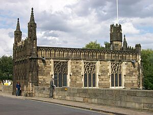
* Chantry Chapel of St Mary the Virgin on Wakefield Bridge is a Church of England chapel built around 1350. It's actually part of the Wakefield Bridge structure!
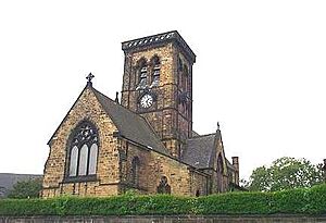
* St Mary Magdalene's Church in Outwood is a Church of England church, built in 1858.
* St Michael's Church on Westgate End is a Church of England church that serves the west end of Wakefield.
* St Paul's Church on St Paul's Drive, Alverthorpe, is a Church of England church that serves Alverthorpe.
* St Peter and St Paul Church on Standbridge Lane is a Roman Catholic church that serves South Wakefield.
* Sandal Methodist Church in Sandal Magna is a Methodist church.
* Trinity Methodist Church on Stanley Road is a Methodist church that serves North Wakefield.
* Wakefield Baptist Church on Barnsley Road is a Baptist church.
* Wakefield Citadel on Frederick Street is a Salvation Army building in Wakefield City Centre.
* Wakefield Spiritualist Church on Peterson Road is a Spiritualist church.
* Westgate Unitarian Chapel on Westgate is a Unitarian chapel in Wakefield City Centre.
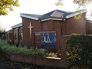
* West Wakefield Methodist Church on Thornes Road is a Methodist church.
Former Places of Worship
Sometimes, religious buildings close or find new uses.
Featherstone
- North Featherstone Gospel Hall is a former place of worship in Featherstone.
West Bretton
* St Bartholomew's Chapel in the Yorkshire Sculpture Park is no longer used as a church. It is now used to display art and sculptures and is known as the YSP Chapel.
See also
 | Lonnie Johnson |
 | Granville Woods |
 | Lewis Howard Latimer |
 | James West |


