Mineral Mountains (Utah) facts for kids
Quick facts for kids Mineral Mountains |
|
|---|---|

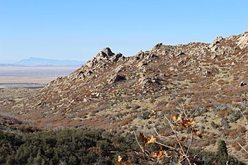
Mineral Mountains near Milford
|
|
| Highest point | |
| Peak | Granite Peak |
| Elevation | 9,377 ft (2,858 m) |
| Dimensions | |
| Length | 28 mi (45 km) |
| Width | 17 mi (27 km) |
| Geography | |
| Country | United States |
| Communities | Milford, Minersville, Cook Corner, Murdock, Read, Black Rock, Sulphurdale and Cove Fort |
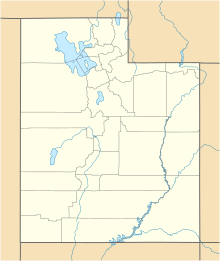
| Range coordinates | 38°22′58″N 112°48′56″W / 38.38278°N 112.81556°W |
| Topo map | USGS Bearskin Mtn, Utah |
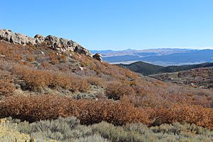
The Mineral Mountains are a mountain range in southwestern Utah, USA. They are about 28 miles (45 km) long. You can find them in eastern Beaver and southeastern Millard counties.
To the southwest of the mountains is the Escalante Desert. To the north and northwest are the Black Rock Desert volcanic field and the Sevier Desert. East of the Mineral Mountains are the Pavant Range and the Tushar Mountains.
On the west side, the mountains border the small Milford Valley. Beyond that is the Star Range. The Beaver River flows past the south and west sides of the range. This river forms the Minersville Reservoir near the mountains.
A large wildfire, called the Milford Flat Fire, started near the Mineral Mountains. It spread eastward past Interstate 15 and Cove Fort into the Tushar Mountains and Pavant Mountains.
About the Mineral Mountains
The Mineral Mountains stretch about 28 miles (45 km) from north to south. The northeast part of the range has a separate, triangular mountain area. This area causes the northern part of Beaver Valley to split into two.

East of this mountain section, I-15 passes by Sulphurdale. This area has many peaks. The tallest one is Gillies Hill, which is 7,888 feet (2,404 meters) high.
The southern part of the range is quite straight. It runs from Cunningham Wash in the north to the Minersville Reservoir in the south. Many small streams flow into this area from Beaver Valley and nearby mountains.
The Beaver River flows into the reservoir and then flows west from the southern tip of the Mineral Mountains. At this point, the range is only about 4 miles (6 km) wide. The mountains then turn into a short stretch of foothills to the southwest, about 9 miles (14 km) long.
The northwest part of the range starts about 7 or 8 miles (11-13 km) southeast of Milford. It then turns into an east-west section in the north. This section continues to the separate mountain area in the east, where it meets the western side of the Pavant-Tushar Mountains.
A small, narrow ridge, about 3 miles (5 km) wide, extends north-northwest from the northern part of the range. It reaches about 6 miles (10 km) toward the Black Rock Desert volcanic field. This ridge includes Pinnacle Pass and a high point called Antelope Mountain, which is 7,230 feet (2,204 meters) tall.
How to Visit the Mineral Mountains
There are a few ways to get to the Mineral Mountains. One main way is by using Interstate 15. This highway goes through Beaver Valley and near the northeast part of the range.
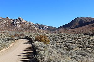
You can also use Danish Reservoir Road. It goes west from I-15 at Cove Fort. This road leads to the northern parts of the range using unpaved roads.
The northwest side of the mountains can be reached from Milford and Milford Valley. You can use unpaved roads for this. Utah State Route 21 (SR-21) also goes through Milford. It heads southeast to Minersville, which is located at the southwest foothills of the range.
SR-21 continues from Minersville through the Beaver River (Utah) canyon, heading east. It goes along the southeast side of the Minersville Reservoir. The reservoir is at the southeast foothills of the mountains. You can reach the southern part of the southeast foothills from Adamsville using unpaved roads. Adamsville is located north of the reservoir.
A smaller, paved road called The Pass Road is northeast of Adamsville and west of Beaver, off SR-21. This road goes through Soldier Pass in the middle of the Mineral Mountains. It comes out on the west side of the range, near the center foothills. From there, it goes northwest to Milford, which is about 7 miles (11 km) away. The part of the road that goes through the mountains is only about 6 miles (10 km) long. This makes it a "shortcut" from towns in Beaver Valley to Milford.
 | Calvin Brent |
 | Walter T. Bailey |
 | Martha Cassell Thompson |
 | Alberta Jeannette Cassell |


