New Pass Range facts for kids
Quick facts for kids New Pass Range |
|
|---|---|
| Highest point | |
| Peak | New Pass Peak |
| Elevation | 2,744 m (9,003 ft) |
| Dimensions | |
| Length | 16 mi (26 km) North-south |
| Geography | |
| Country | United States |
| State | Nevada |
| Counties | Lander County and Churchill County |
| Range coordinates | 39°41′19″N 117°28′25″W / 39.68861°N 117.47361°W |
| Topo map | USGS New Pass Peak |
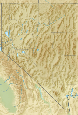
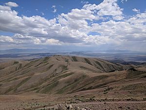
The New Pass Range is a cool mountain range located in Nevada, a state in the western United States. It stretches across two counties: Lander County and Churchill County. These mountains run from north to south, forming a natural border between Lander and Churchill counties for about 16 miles (26 kilometers).
The tallest point in the range is called New Pass Peak. It stands really high at 9,003 feet (2,744 meters) above sea level! A major road, US Route 50, goes right over the New Pass Summit at the southern part of the range. This road connects the towns of Austin (to the east) and Fallon (to the west). The mountains got their name because an early explorer thought he had found a "new pass" or pathway through this area.
Exploring the New Pass Range
The New Pass Range is part of the Great Basin region, known for its many mountain ranges and valleys. These mountains are a great place to explore the natural beauty of Nevada.
Nearby Mountain Ranges
The New Pass Range is surrounded by other interesting mountain ranges and valleys. To the southwest, you'll find the Desatoya Mountains. To the west are the Clan Alpine Mountains.
North of the New Pass Range are the Augusta Mountains. To the northeast, you can see Antelope Valley. East of the range is Ravenswood Mountain, located at the southern end of the Shoshone Range. You can also find Nevada State Route 305 in this area.
To the southeast, across the Reese River Valley, is the town of Austin. Austin is at the northern end of the Toiyabe Range. All these features make the New Pass Range an important part of Nevada's geography.
 | Percy Lavon Julian |
 | Katherine Johnson |
 | George Washington Carver |
 | Annie Easley |


