2022 Pacific typhoon season facts for kids
| First storm formed | March 29, 2022 |
|---|---|
| Last storm dissipated | Season ongoing |
| Strongest storm | Malakas – 950 hPa (mbar), 155 km/h (100 mph) (10-minute sustained) |
| Tropical depressions | 6 |
| Total storms | 4 |
| Typhoons | 2 |
| Super typhoons | 0 (unofficial) |
| Total fatalities | 232 total |
| Total damage | $90.8 million (2022 USD) |
| Pacific typhoon seasons 2020, 2021, 2022, 2023, 2024 |
|
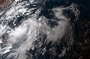
The 2022 Pacific typhoon season is about the powerful storms that formed in the western Pacific Ocean during 2022. These storms are called tropical cyclones. When they get very strong, they are known as typhoons.
The season lasts all year, but most of these storms usually form between May and October. This article focuses on storms in the Pacific Ocean north of the equator. This area is between 100 degrees East and 180 degrees longitude.
Different groups name these storms. The Japan Meteorological Agency (JMA) names a storm if its winds reach at least 65 kilometers per hour (40 mph) for 10 minutes. The Philippine Atmospheric, Geophysical and Astronomical Services Administration (PAGASA) also names storms. They name any storm that enters or forms in their special area. This area is between 135°E and 115°E and 5°N–25°N. Sometimes, a storm might have two names because of this. The United States' Joint Typhoon Warning Center (JTWC) also watches these storms. They give them a number with a "W" at the end.
How Many Storms Were Expected?

Each year, different weather groups try to guess how many tropical storms and typhoons will form. They also try to predict which countries might be affected.
One of these groups is the Tropical Storm Risk (TSR) from University College London. PAGASA and Taiwan's Central Weather Bureau also make predictions.
PAGASA made their first guess on December 22, 2021. They thought that only 0 to 3 tropical storms would form or enter the Philippine Area of Responsibility from January to March 2022. They expected 1 to 4 storms from April to June. PAGASA also said that La Niña weather conditions might continue. La Niña can affect how many storms form.
On May 5, TSR made their own prediction. They also expected La Niña to continue for a while. TSR thought that there would be slightly fewer storms than usual in 2022. They predicted about 23 named storms, 13 typhoons, and 7 very strong typhoons.
Key Storms of the Season

The first two months of 2022 were quiet in the Western Pacific Ocean. But things changed in late March. A tropical depression formed west of Palawan and moved towards Vietnam. The JTWC called it 01W. It did not last long and disappeared the next day.
In early April, two more systems formed: 02W and 03W.
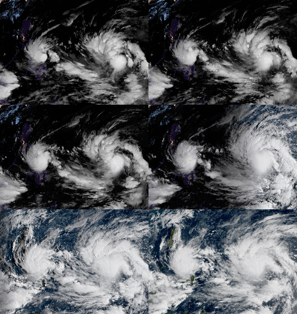
- 02W became Tropical Storm Malakas. It was the first tropical storm and then the first typhoon of the season. PAGASA named it Basyang. It was only in the Philippine area for 5 hours.
- 03W was named Agaton by PAGASA. It first hit Guiuan in Eastern Visayas. It then moved west and became Tropical Storm Megi.
Megi caused terrible floods and landslides in the Philippines. It stayed almost still in the Leyte Gulf before hitting land. This made it the deadliest tropical cyclone ever in April for the Philippines. Megi disappeared on April 13.
Meanwhile, Malakas became a very strong typhoon, like a Category 4 storm. But then it quickly got weaker as it moved northeast. It changed into a non-tropical storm, and the ocean became quiet again for the rest of April. No storms formed in May. A small tropical depression formed and disappeared on May 30.
Towards the end of June, a tropical depression formed west of Luzon. PAGASA named it Caloy. It became a tropical storm a day later and was named Chaba. Around the same time, another low-pressure area formed east of Northern Luzon. PAGASA named it Domeng. This system also became a tropical storm and was named Aere by the JMA.
Chaba grew stronger and became a Severe Tropical Storm. Aere moved north and threatened the Japanese Ryukyu Islands. Chaba became a Category 1 typhoon and hit Maoming, China. It also sank a crane ship near Hong Kong. Aere passed through Naha, Japan, and then weakened. After crossing Japan, the JTWC said Aere (Domeng) became a subtropical storm again.
Impacts of the Storms
This table shows all the storms that formed or moved into the North Pacific Ocean west of the International Date Line in 2022. It tells you how strong each storm was, how long it lasted, where it hit, and if it caused any deaths or damage.
| Name | Dates active | Peak classification | Sustained wind speeds |
Pressure | Areas affected | Damage (USD) |
Deaths | Refs |
|---|---|---|---|---|---|---|---|---|
| 01W | March 29 – 31 | Tropical depression | Not specified | 1006 hPa | Vietnam | Minimal | 6 | |
| Malakas (Basyang) | April 6 – 15 | Very strong typhoon | 157 km/h (98 mph) | 950 hPa | Caroline Islands, Bonin Islands | None | None | |
| Megi (Agaton) | April 8 – 13 | Tropical storm | 65 km/h (40 mph) | 998 hPa | Philippines | $90.8 million | 214 | |
| TD | May 30 | Tropical depression | Not specified | 1006 hPa | Philippines | None | None | |
| Chaba (Caloy) | June 28 – July 5 | Strong typhoon | 130 km/h (81 mph) | 965 hPa | South China, Central China, North China | Unknown | 12 | |
| Aere (Domeng) | June 30 – July 4 | Tropical storm | 85 km/h (53 mph) | 994 hPa | Japan | Unknown | None | |
| Season aggregates | ||||||||
| 6 systems | March 29 – Season ongoing | 157 km/h (98 mph) | 950 hPa | $90.8 million | 232 | |||
See also
 In Spanish: Temporada de tifones en el Pacífico de 2022 para niños

