
Cère facts for kids
Quick facts for kids Cère |
|
| River | |
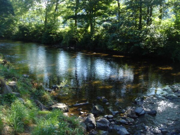
 Cère gorge near Lamativie
|
|
| Country | |
|---|---|
| Regions | Auvergne-Rhône-Alpes, Nouvelle-Aquitaine, Occitanie |
| Departments | Cantal, Corrèze, Lot |
| Small city | Arpajon-sur-Cère |
| Source | Font de Cère |
| - location | Saint-Jacques-des-Blats, Cantal, France |
| - elevation | 1,250 m (4,101 ft) |
| - coordinates | 45°5′4″N 2°43′49″E / 45.08444°N 2.73028°E |
| Confluence | Dordogne |
| - location | Girac, Lot, France |
| - elevation | 127 m (417 ft) |
| - coordinates | 44°54′34″N 1°48′45″E / 44.90944°N 1.81250°E |
| Length | 120.4 km (75 mi) |
| Basin | 1,059 km² (409 sq mi) |
| Discharge | for Biars-sur-Cère |
| - average | 25.9 m³/s (915 cu ft/s) |
The Cère is an important French river located in the Massif Central region. It flows through three different departments: Cantal, Corrèze, and Lot. The Cère is a major river in the Cantal department. It eventually joins the Dordogne (river) as one of its left-side rivers.
For about 20 kilometers (12 miles), the Cère river forms a natural border. First, it separates the Corrèze and Cantal departments. Later, it marks the boundary between the Corrèze and Lot departments.
Contents
About the Cère River
The Cère river is about 120.4 kilometers (74.8 miles) long. The area of land that drains into the Cère river, called its drainage basin, covers about 1,059 square kilometers (409 square miles).
The amount of water flowing in the Cère river changes throughout the year. On average, about 25.90 cubic meters (915 cubic feet) of water pass through a section of the river every second. This measurement is taken near the town of Biars-sur-Cère in the Lot department.
Where the Cère River Starts
The Cère river begins its journey in the southwestern part of the Massif Central. Its source is found at a place called Col de Font de Cère. This spot is located in the commune (a small administrative area) of Saint-Jacques-des-Blats. The river starts at a high point, about 1,250 meters (4,100 feet) above sea level, in the Cantal department.
The River's Path
After starting high in the mountains, the Cère river generally flows towards the west. It travels through three different regions of France and three departments. Along its path, it passes through 29 communes. Some of these towns are even named after the river itself, like Vic-sur-Cère, Arpajon-sur-Cère, Laval-de-Cère, Gagnac-sur-Cère, and Biars-sur-Cère.
Here are some of the main communes the Cère river flows through:
- In the Auvergne-Rhône-Alpes region:
- In the Cantal department: Saint-Jacques-des-Blats, Thiézac, Vic-sur-Cère, Polminhac, Arpajon-sur-Cère, Sansac-de-Marmiesse, Saint-Étienne-Cantalès, Laroquebrou.
- In the Nouvelle-Aquitaine region:
- In the Corrèze department: Camps-Saint-Mathurin-Léobazel.
- In the Occitanie region:
- In the Lot department: Laval-de-Cère, Bretenoux, Biars-sur-Cère, Prudhomat.
The Cère river finishes its long journey by flowing into the Dordogne river. This happens in the town of Girac, which is also in the Lot department.
Main Rivers Joining the Cère
Many smaller rivers and streams flow into the Cère river. These are called tributaries. Here are some of the main tributaries that are longer than 20 kilometers (12 miles):
|
Rivers joining from the left side:
|
Rivers joining from the right side:
|
Gallery
-
The Cère in Vic-sur-Cère.
-
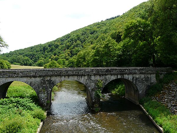
Bridge over the Cère in Sansac-de-Marmiesse.
-
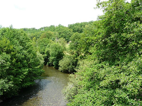
The Cère in Sansac-de-Marmiesse.
-
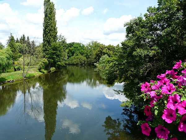
The Cère between Biars-sur-Cère (left) and Bretenoux (right).


Related pages
See also
 In Spanish: Río Cère para niños
