
Chestatee River facts for kids
The Chestatee River is a river about 33 miles (53 km) long. It flows through the northern part of Georgia, USA. It is located in the Appalachian Mountains.
The name "Chestatee" comes from the Cherokee people. It means "pine torch place" or "place of lights." The Cherokee used to light bonfires along the riverbanks. They would use these fires to light their torches. They used the torches for hunting deer and other animals in the forest. Many local places are named after the river. These include the Chestatee Regional Library System. Also, Chestatee High School and Middle School in Gainesville are named after it. The high school tries to be "a place of light" for its students.
River's Journey
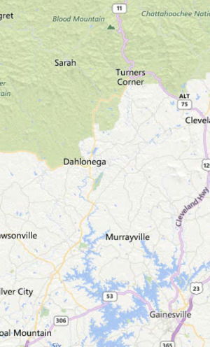
The Chestatee River starts in northeastern Lumpkin County. It begins where two smaller streams, Dicks Creek and Frogtown Creek, meet. This is near where U.S. 19 and U.S. 129 cross.
The river flows past Dahlonega. This town was famous during the Georgia Gold Rush. The river then goes under the northern end of Georgia 400, a major highway from Atlanta.
Long ago, the river continued further south. It formed the eastern border of Dawson County. It also made up part of the border between Forsyth County and Hall County. The river was an important boundary for the Cherokee Nation. It was used in the Cherokee Treaty of Washington in 1819.
Today, the Chestatee River flows into the Chattahoochee River. It now ends in Lake Lanier. This lake was created when Buford Dam was finished in 1956. The part of Lake Lanier that covers the lower 18 miles (29 km) of the river is called Chestatee Bay. When the lake was made, it flooded the town of Chestatee. The native Cherokee people called this town Atsunsta Ti Yi. Even though the river is now under the lake, the county borders still follow where the river used to flow.
River Monitoring
There is a special device called a stream gauge on the Chestatee River. It is located near State Route 52 in Dahlonega. This gauge helps measure the river's water level. It was put there in 1907.
The area of land that drains water into the river above this point is about 153 square miles (396 km2). The National Weather Service has set a "flood stage" for this gauge at 19 feet (5.8 meters). This means if the water level reaches 19 feet, it's considered a flood. The highest water level ever recorded at this spot was 25.17 feet (7.67 meters). This happened on August 23, 1967. This was about ten times higher than the river's usual depth.
Images for kids
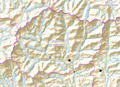
-

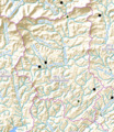
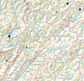
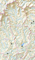
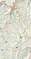
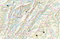
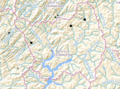
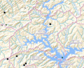
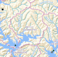
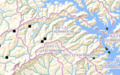
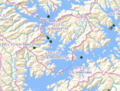
Map showing the 3 Chestatee River watersheds.
-
HUC031300010501
-
HUC031300010502
-
HUC031300010503
-
HUC031300010504
-
HUC031300010505
-
HUC031300010601
-
HUC031300010602
-
HUC031300010603
-
HUC031300010604
-
HUC031300010701
-
HUC031300010702
-
HUC031300010703
-
HUC031300010704
-
HUC031300010705
