Hempstead County, Arkansas facts for kids
Quick facts for kids
Hempstead County
|
|
|---|---|
|
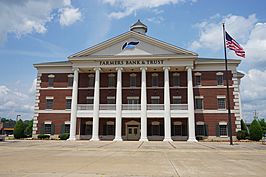
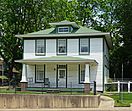
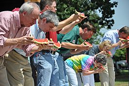
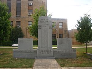
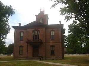
Clockwise from top: Hempstead County Courthouse in Hope, Bill Clinton Birthplace, Politicians at the Hope Watermelon Festival, the former Hempstead County Courthouse)
|
|
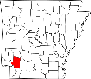
Location within the U.S. state of Arkansas
|
|
 Arkansas's location within the U.S. |
|
| Country | |
| State | |
| Founded | December 15, 1818 |
| Named for | Edward Hempstead |
| Seat | Hope |
| Largest city | Hope |
| Area | |
| • Total | 741 sq mi (1,920 km2) |
| • Land | 728 sq mi (1,890 km2) |
| • Water | 14 sq mi (40 km2) 1.8%% |
| Population
(2020)
|
|
| • Total | 20,065 |
| • Density | 27.078/sq mi (10.455/km2) |
| Time zone | UTC−6 (Central) |
| • Summer (DST) | UTC−5 (CDT) |
| Congressional district | 4th |
Hempstead County is a county in the state of Arkansas. In 2020, about 20,065 people lived here. The main city and county seat is Hope.
Hempstead County was one of Arkansas's first counties. It was created on December 15, 1818. The county is named after Edward Hempstead. He was a delegate to the U.S. Congress from the Missouri Territory. This territory included what is now Arkansas.
A very famous person was born in Hempstead County. The 42nd U.S. President, Bill Clinton, was born in Hope on August 19, 1946. He served as president from 1993 to 2001. As of 2024, he is the only U.S. President born in Arkansas.
Contents
Where is Hempstead County?
Hempstead County covers about 741 square miles. Most of this area is land, with a small part being water. It is located in the southern part of Arkansas. People often consider it part of Southwest Arkansas.
Main Roads
Many important roads pass through Hempstead County. These roads help people travel and transport goods.
 Interstate 30
 U.S. Highway 67
 U.S. Highway 278
 U.S. Highway 371
 Highway 4
 Highway 27
 Highway 29
 Highway 32
Neighboring Counties
Hempstead County shares borders with several other counties:
- Pike County (north)
- Nevada County (east)
- Lafayette County (south)
- Miller County (southwest)
- Little River County (west)
- Howard County (northwest)
Who Lives in Hempstead County?
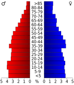
The population of Hempstead County has changed over the years. In 1830, there were about 2,512 people. The population grew steadily for many years. In 2020, the population was 20,065.
Most people in Hempstead County are White (about 52.6%). A large number are also Black or African American (about 28.1%). About 14.7% of the people are Hispanic or Latino. There are also smaller groups of Native American and Asian residents.
Towns and Cities
Cities
- Blevins
- Hope (This is the county seat, where the main government offices are.)
- Washington
Towns
Unincorporated Communities
These are smaller places that are not officially cities or towns.
See also
 In Spanish: Condado de Hempstead para niños
 | Selma Burke |
 | Pauline Powell Burns |
 | Frederick J. Brown |
 | Robert Blackburn |


