
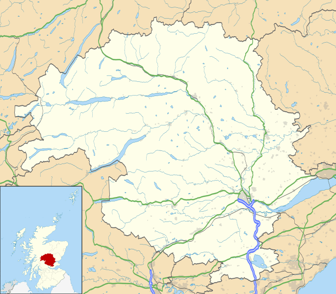
Image: Perth and Kinross UK location map

Description: Blank map of Perth and Kinross, UK with the following information shown: Administrative borders Coastline, lakes and rivers Roads and railways Urban areas Equirectangular map projection on WGS 84 datum, with N/S stretched 180% Geographic limits: West: 4.80W East: 2.95W North: 57.00N South: 56.10N
Title: Perth and Kinross UK location map
Credit: Ordnance Survey OpenData. Administrative borders and coastline data from Boundary-Line product. All other geographic data from Meridian 2 product. Inset derived from Inset derived from File:Scotland location map.svg by NordNordWest.
Author: Nilfanion, created using Ordnance Survey data
Permission: This file is licensed under the Creative Commons Attribution-Share Alike 3.0 Unported license. Attribution: Contains Ordnance Survey data © Crown copyright and database right You are free: to share – to copy, distribute and transmit the work to remix – to adapt the work Under the following conditions: attribution – You must attribute the work in the manner specified by the author or licensor (but not in any way that suggests that they endorse you or your use of the work). share alike – If you alter, transform, or build upon this work, you may distribute the resulting work only under the same or similar license to this one. http://creativecommons.org/licenses/by-sa/3.0 CC BY-SA 3.0 Creative Commons Attribution-Share Alike 3.0 truetrue
Usage Terms: Creative Commons Attribution-Share Alike 3.0
License: CC BY-SA 3.0
License Link: http://creativecommons.org/licenses/by-sa/3.0
Attribution Required?: Yes
Image usage
The following 44 pages link to this image:
- Aberfeldy, Perth and Kinross
- Aberfeldy Watermill
- Abernethy, Perth and Kinross
- Ardoch Roman Fort
- Auchterarder
- Ben Lawers
- Blair Atholl Watermill
- Braco
- Braco, Perth and Kinross
- Carpow
- Castle Cluggy
- Comrie, Perth and Kinross
- Croft Moraig Stone Circle
- Cultybraggan Camp
- Dowhill Castle
- Dull, Perth and Kinross
- Dunkeld
- Errol, Perth and Kinross
- Forgandenny
- Forteviot
- Fortingall
- Inchtuthil
- Invermay
- Inverquiech Castle
- Kinclaven Castle
- Kinross
- Loch Rannoch and Glen Lyon National Scenic Area
- Meikleour
- Methven, Perth and Kinross
- Monzie Castle
- Muthill
- Old Clunie Castle
- Old Kincardine Castle, Auchterarder
- Perth Castle
- Pitlochry Church of Scotland
- Pitmiddle
- Queen's Barracks
- Scone, Scotland
- Spittal of Glenshee
- St Fillans
- The Heart Stone
- The Soldiers' Trenches, Moor of Rannoch
- Waterloo, Perth and Kinross
- Template:Location map Scotland Perth and Kinross
