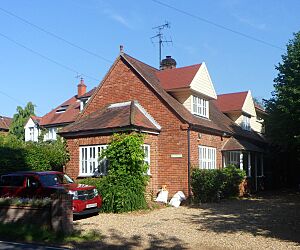
List of former places of worship in Chichester District facts for kids
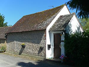
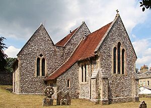
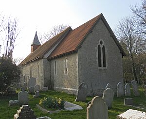
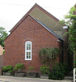
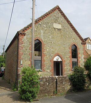
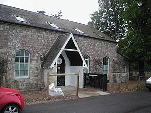
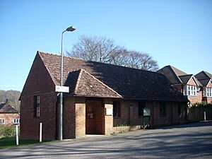
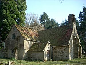
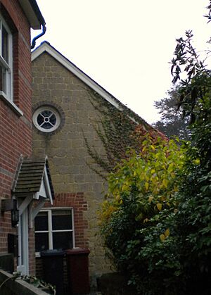
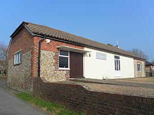
In the Chichester area, which is a large countryside part of West Sussex, England, there are over 50 old churches, chapels, and other places of worship that are still standing but are not used for religious purposes anymore. Many of these are in the old city of Chichester, which is the biggest town in the district. In the past, many medieval and Victorian Anglican churches were built there for very small church areas (sometimes just a few streets). Later, these areas were combined, and many chapels for different Nonconformist Christian groups closed as fewer people attended.
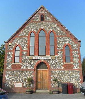
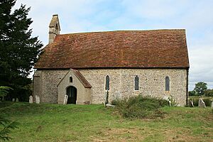
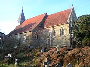
In the villages and farming areas outside the city, churches and chapels closed for different reasons. Some were replaced by newer buildings, others had fewer people attending, or populations moved away. A few even became unsafe due to building problems. Some of these old places of worship are now ruins, but many others are still in good condition and have been changed for new uses. They might be homes, shops, schools, or community centers. Some old churches are just empty, waiting for a new purpose.
As of 2026, there are 54 former places of worship in the district. Out of these, 21 have been marked as "listed buildings" by English Heritage. This means they are important because of their special design or history. A building gets "listed" when it's added to a special list of buildings that are very important. This is done by a government department, and English Heritage helps manage the process. There are three levels of listing:
- Grade I: For buildings that are super special and important.
- Grade II*: For buildings that are very important, more than just special.
- Grade II: For buildings that are special.
In February 2001, the Chichester area had 80 Grade I buildings, 114 Grade II* buildings, and 3,057 Grade II buildings.
Chichester District: A Quick Look
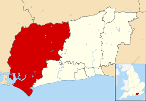
The Chichester district covers about 777 square kilometers (300 square miles) and makes up most of the western part of West Sussex. In 2011, about 113,800 people lived there. The old city of Chichester, which was a Roman town long ago, is the largest settlement with about 23,731 people in 2001. There are also smaller towns, villages, and tiny communities called hamlets. Only East Wittering, Midhurst, Selsey, and Southbourne have more than 3,000 people.
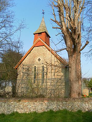
Chichester city has eight former Anglican churches. Six of these are in the old city center. St Olave's Church is from the 11th century. The Churches of All Saints-in-the-Pallant and St Andrew-in-the-Oxmarket were built in the 13th century. The Churches of St John the Evangelist, St Bartholomew, and St Peter the Great were all built in the 1800s. This was a time when many new Anglican churches were built across England, including in Sussex.
Several other churches in Chichester have now disappeared. There were also eight very old church areas, and many churches were built close together in the northeast part of the city. This might explain why the old churches were small and why many closed in the 1900s. Churches in the suburbs of Portfield and Rumboldswyke were declared "redundant" (no longer needed for worship) in 1981 and 1994.
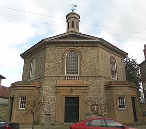
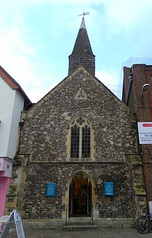
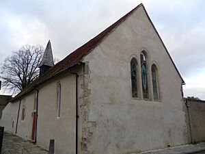
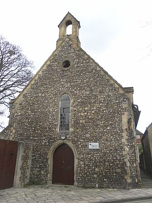
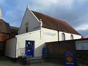
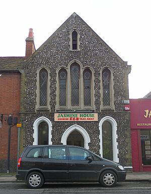
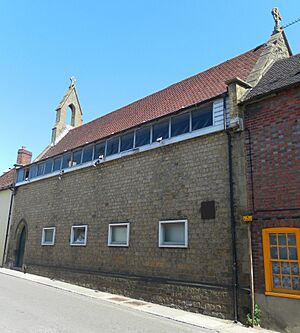
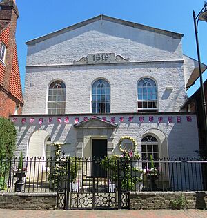
Today, the former Portfield church is a museum for dolls and musical instruments. St Andrew-in-the-Oxmarket is an arts center. St Olave's Church is a bookshop. Rumboldswyke and All Saints-in-the-Pallant have become offices. St Peter the Great's Church is now a bar and restaurant. The old Hornet Bible Christian Chapel is now a Chinese takeaway. Eastgate Hall, which was a Baptist church from the 1600s to the mid-1900s, has been many things, including a restaurant, and is now a betting shop.
In other parts of the district, several other former Anglican parish churches are now closed. For example, in East Wittering, the old 12th-century church was replaced by a modern one closer to where people live. In Merston, St Giles' Church closed in 2010 because its roof was unsafe. In West Lavington, the church became too expensive for the small group of worshippers to keep up, so its area joined with Cocking. In Milland, a new church was built next to the old Tuxlith Chapel. Small communities like Bedham, Bexley Common, Henley Common, and Rake also had their own small churches (called chapels of ease) at different times in the 1800s and 1900s, but these are now gone.
The Roman Catholic faith has always been strong in West Sussex. The two former Catholic churches in the district closed because they were replaced by bigger buildings. In Midhurst, the old church became a restaurant. In Nutbourne, a barn was used for Mass until a permanent church was built nearby in Bosham.
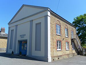
On the other hand, many different Protestant Nonconformist groups, which were popular in the 1800s and early 1900s, have become smaller. This led to many chapels closing and being sold. These chapels were often small, simple buildings in the countryside. Chichester city was a strong center for Presbyterians in the 1700s, with the Baffin's Hall chapel (now an auction gallery) opening in 1721.
Calvinistic groups also opened chapels. These groups often split and joined together, using different names. Chapels in Fernhurst, Midhurst, and Petworth, all named Ebenezer, were used by various Baptist and Independent groups. A building with the same name in central Chichester went from Independents to Congregationalists. The same happened in South Harting, where an Independent meeting house built in 1800 was eventually replaced by a Congregational chapel in 1871, which is still in use.
Several Congregational chapels in other villages closed before the group joined with the Presbyterian Church of England to form the United Reformed Church. Broadbridge, Cocking, Funtington, and Wisborough Green all lost their chapels. Even chapels that lasted beyond the 1972 union still faced decline: Bosham Congregational Church, later Bosham United Reformed Church, had its last service in 2005.
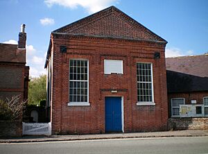
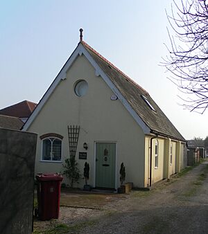
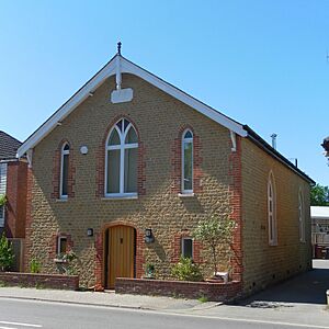
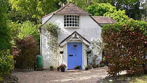
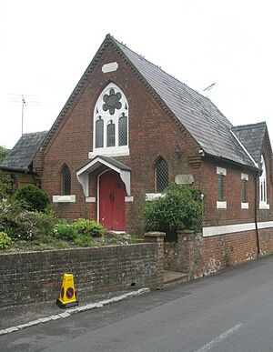
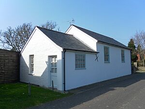
Methodism also saw a decline. Different Methodist groups (Bible Christians, Primitive Methodists, Wesleyans, and others) gradually merged to form the Methodist Church of Great Britain in 1932. This meant fewer chapels were needed. In West Sussex, like in nearby areas, it became popular to turn these strong, often attractive, and usually cheap buildings into homes (like in Somerley, Sidlesham, Fernhurst, Walderton, and West Wittering) or for businesses, as seen with the old Bible Christian chapels in Chichester and Nutbourne.
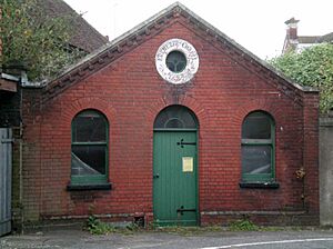
The now-gone Society of Dependants (also called Cokelers) was a small, lesser-known religious group found in Surrey and Sussex. Their main base was at Loxwood in the Chichester district. Their old chapel there is still used by another group, but former Cokeler chapels in Northchapel and Chichester are no longer used for religious services.
Former Places of Worship in Chichester District
| Name | Image | Location | Original Church Group | Grade | What Happened to It | More Info |
|---|---|---|---|---|---|---|
| St Michael and All Angels Church | Bedham 50°59′15″N 0°33′12″W / 50.9876°N 0.5534°W |
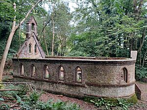
Anglican | – | An MP named William Townley Mitford paid for this school and church in 1880. It's now a ruin. The school closed in 1925, and the church in 1959. | ||
| Bexley Hill Mission Chapel | Bexley Common 51°01′12″N 0°41′53″W / 51.0199°N 0.6981°W |
Anglican | – | A preacher started this chapel in an old cottage around 1900. It's now a ruin. | ||
| Binderton Chapel | Binderton, West Dean 50°53′21″N 0°47′32″W / 50.8892°N 0.7922°W |
Anglican | II | This chapel, now a ruin, was built in the 1670s. It was never officially consecrated and stopped being used for worship in the 1700s. | ||
| Bosham United Reformed Church | Bosham 50°49′52″N 0°51′30″W / 50.8310°N 0.8583°W |
United Reformed Church | II | This chapel was built in 1837. Its last service was on June 21, 2005, and the building was sold. | ||
| Broadbridge Congregational Chapel | Broadbridge, Bosham 50°50′29″N 0°50′43″W / 50.8414°N 0.8454°W |
Congregational | – | Built around the early 1900s, this chapel has been changed into a cottage. | ||
| St John the Evangelist's Church | Chichester 50°50′07″N 0°46′30″W / 50.8354°N 0.7749°W |
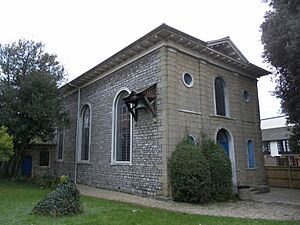
Anglican | I | Designed in 1812, this church looks like a Nonconformist chapel inside. It stopped being used in 1973 and is now looked after by a charity. | ||
| St Olave's Church | Chichester 50°50′14″N 0°46′43″W / 50.8372°N 0.7787°W |
Anglican | I | This small church is from the 11th century. In the 1950s, it became a bookshop. | ||
| St Andrew-in-the-Oxmarket Church | Chichester 50°50′12″N 0°46′37″W / 50.8366°N 0.7769°W |
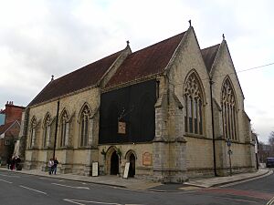
Anglican | II* | This 13th-century church has been unused since 1952 and is now a museum. | ||
| Church of All Saints-in-the-Pallant | Chichester 50°50′08″N 0°46′43″W / 50.8355°N 0.7786°W |
Anglican | II | This 13th-century church stopped being used in 1969 and was sold for office space in 2008. | ||
| St Bartholomew's Church | Chichester 50°50′11″N 0°47′10″W / 50.8365°N 0.7862°W |
Anglican | II | This church was built in the 1800s on the site of an older church. It stopped being used in 1959 and was used by a theological college. | ||
| St Peter the Great's Church | Chichester 50°50′13″N 0°46′54″W / 50.8370°N 0.7816°W |
Anglican | II | Built in the 1840s, this church is now a bar. | ||
| Eastgate Hall | Chichester 50°50′09″N 0°46′24″W / 50.8357°N 0.7734°W |
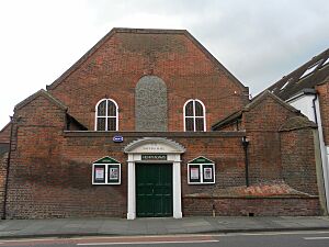
Baptist | II | Baptists worshipped here from 1671. The building was rebuilt in 1728. It was sold in 1954 and is now a betting shop. | ||
| Ebenezer Chapel | Chichester 50°50′17″N 0°46′38″W / 50.8380°N 0.7771°W |
Congregational | II | This building was a stable, then a warehouse, before becoming a church in 1833. It later became part of a hospital and is now a house. | ||
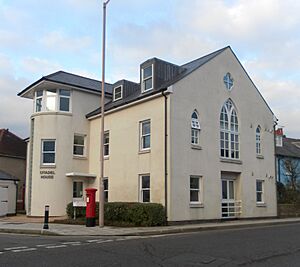
| Zion Chapel | Chichester 50°50′24″N 0°46′56″W / 50.8399°N 0.7821°W |
Independent | – | Built in 1833, this chapel was later used by The Salvation Army. It has been changed a lot and is now called Citadel House. | ||
| Hornet Bible Christian Chapel | Chichester 50°50′10″N 0°46′19″W / 50.8362°N 0.7720°W |
Methodist | – | This chapel was used by Bible Christians and then United Methodists until 1968. It is now a Chinese restaurant. | ||
| Greyfriars Chapel | Chichester 50°50′21″N 0°46′35″W / 50.8392°N 0.7765°W |
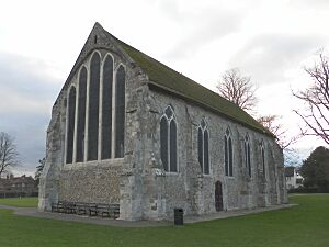
Pre-Reformation | I | This church, built in the 1200s, is the last part of Chichester's old Franciscan monastery. After the monasteries were closed in the 1540s, it became the city's Guildhall. It is now a museum. | ||
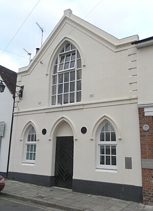
| Baffin's Hall | Chichester 50°50′08″N 0°46′34″W / 50.8356°N 0.7761°W |
Presbyterian | II | Built in 1721 for Presbyterians, this hall was later used by Unitarians. It closed in 1930 and became an auction room. | ||
| Dependants Chapel | Chichester 50°50′21″N 0°46′08″W / 50.8392°N 0.7690°W |
Society of Dependants | – | This chapel was built by the Cokelers religious group around 1891. It became a house after closing in 1975. | ||
| St Wilfrid's Chapel | Church Norton, Selsey 50°45′18″N 0°45′55″W / 50.7549°N 0.7652°W |
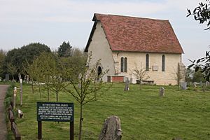
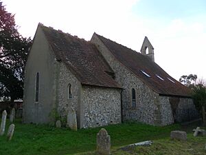
Anglican | I | This is the old part of Selsey's former church, built in the 1200s. The rest of the church was moved to the village center. | ||
| Cocking Congregational Chapel | Cocking 50°56′57″N 0°45′10″W / 50.9493°N 0.7528°W |
Congregational | – | This building, now a house, was rebuilt in 1907 from an older chapel. | ||
| St Peter's Church | East Lavington 50°56′17″N 0°39′17″W / 50.9381°N 0.6547°W |
Anglican | II* | After it stopped being used in 1972, this church became the private chapel for the nearby Seaford College. | ||
| Church of the Assumption of St Mary the Virgin | East Wittering 50°46′30″N 0°51′49″W / 50.7751°N 0.8637°W |
Anglican | II* | A new church was built in the 1950s. This 13th-century building was sold in 2021. | ||
| Ebenezer Chapel | Fernhurst 51°02′59″N 0°43′32″W / 51.0498°N 0.7255°W |
Independent | – | This chapel, built in 1852, served Independent and Calvinistic Baptist groups. | ||
| Providence United Methodist Chapel | Fernhurst 51°03′01″N 0°43′34″W / 51.0503°N 0.7261°W |
Methodist | – | Built in 1845, this chapel was used by Baptists and then Methodists. It is now a house. | ||
| Funtington Congregational Chapel | Funtington 50°51′58″N 0°50′42″W / 50.8661°N 0.8449°W |
Congregational | – | This chapel, built in 1864, used stones from Chichester Cathedral's old spire. It is now a museum about the science of time. | ||
| St Michael's Church | Hammer 51°05′01″N 0°44′54″W / 51.0835°N 0.7482°W |
Anglican | – | This former church is no longer needed because there are two other churches in the area. | ||
| Henley Mission Hall | Henley Common 51°01′22″N 0°43′35″W / 51.0229°N 0.7265°W |
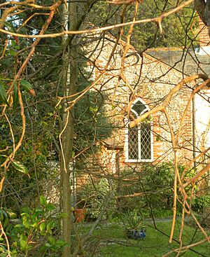
Anglican | – | This mission chapel was built in 1884–85. It is now a house. | ||
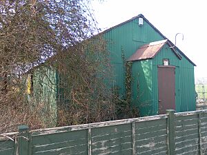
| Pentecostal Mission Hall | Hermitage, Southbourne 50°50′37″N 0°55′39″W / 50.8436°N 0.9275°W |
Pentecostal | – | This metal hut was used as a mission chapel. It was bought second-hand from Selsey, taken apart, and rebuilt here. | ||
| St Giles' Church | Merston 50°48′59″N 0°43′58″W / 50.8163°N 0.7328°W |
Anglican | I | The roof of this church became unsafe in 2010, so it closed. The church dates from the 1200s. | ||
| Ebenezer Chapel | Midhurst 50°59′04″N 0°44′30″W / 50.9845°N 0.7416°W |
Baptist | – | This chapel opened in 1840 and was used until 1936. It became a secular building in the 1950s. | ||
| Zion Chapel | Midhurst 50°59′00″N 0°44′41″W / 50.9834°N 0.7446°W |
Baptist | – | Opened in 1833, this chapel was changed into a Masonic hall after 1886. | ||
| St Francis of Assisi's Church | Midhurst 50°59′10″N 0°44′22″W / 50.9860°N 0.7394°W |
Roman Catholic | – | This church was replaced by a new one in 1958 and then became a restaurant. | ||
| Tuxlith Chapel | Milland 51°02′52″N 0°49′26″W / 51.0478°N 0.8238°W |
Anglican | II | Milland's old church was replaced by a larger one in 1879. After being unused for a long time, a charity saved the building. | ||
| Dependants' Chapel | Northchapel 51°03′14″N 0°38′38″W / 51.0540°N 0.6440°W |
Society of Dependants | – | This chapel was used by the Cokelers group from 1870 to 1988. | ||
| Nutbourne Bible Christian Chapel | Nutbourne 50°50′36″N 0°53′02″W / 50.8434°N 0.8839°W |
Methodist | – | This chapel was built in 1905 for the Bible Christians. It later joined the Methodist Church and is now a commercial building. | ||
| Chapel of the Holy Nativity | Nutbourne 50°50′36″N 0°53′46″W / 50.8434°N 0.8961°W |
Roman Catholic | – | This chapel was in a barn and closed when a new church opened nearby. It is now part of a Catholic Bible School. | ||
| Ebenezer Chapel | Petworth 50°59′13″N 0°36′36″W / 50.9869°N 0.6101°W |
Baptist | – | Built in 1887, this chapel closed in 2006 when only one person was left in the congregation. It was later changed into a home. | ||
| Petworth Congregational Chapel | Petworth 50°59′14″N 0°36′31″W / 50.9873°N 0.6087°W |
Congregational | II | Used from 1819 to 1849, this building has been changed for secular use but still has parts of its original design. | ||
| Plaistow Mission Hall | Plaistow 51°03′58″N 0°34′01″W / 51.0660°N 0.5670°W |
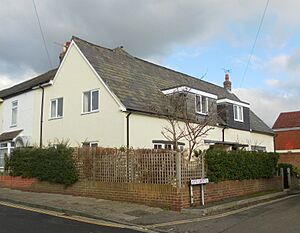
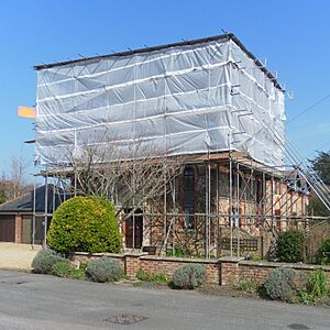
Baptist | – | This mission chapel was built in 1907. It was changed into a house in 2000 and then rebuilt in a modern style in 2010, winning awards. | ||
| All Saints Church | Portfield, Chichester 50°50′25″N 0°45′25″W / 50.8404°N 0.7569°W |
Anglican | – | Designed in 1869–71, this church was declared redundant in 1981. It became a museum of dolls and musical instruments. | ||
| Rake Mission Church | Rake 51°02′32″N 0°51′31″W / 51.0422°N 0.8587°W |
Anglican | – | Built in 1879 as a mission chapel, this building is now a house. | ||
| Gospel Hall | Rogate 51°00′49″N 0°50′28″W / 51.0137°N 0.8412°W |
Brethren | – | This former Gospel Hall now houses a company that provides architectural services. | ||
| St Mary's Church | Rumboldswyke, Chichester 50°49′48″N 0°45′59″W / 50.8300°N 0.7664°W |
Anglican | II* | This old church was used from the 11th century until 1994. It is now the headquarters of an architectural firm. | ||
| Sidlesham Wesleyan Chapel | Sidlesham 50°46′12″N 0°47′06″W / 50.7700°N 0.7851°W |
Methodist | – | This chapel was rebuilt in 1878. It closed in the early 1980s and became a house. | ||
| Earnley Tabernacle | Somerley, Earnley 50°46′41″N 0°50′37″W / 50.7780°N 0.8436°W |
Methodist | – | This Methodist chapel served the community from 1839. It was a ruin by 1980 but has now been restored and turned into a house. | ||
| Old Meeting House | South Harting 50°58′08″N 0°52′41″W / 50.9688°N 0.8781°W |
Independent | – | Founded in 1800, this building stopped being used for worship when a new chapel opened in 1871. | ||
| Harting Primitive Methodist Chapel | South Harting 50°58′12″N 0°52′51″W / 50.9701°N 0.8807°W |
Methodist | – | Now called the Shaxson Memorial Hall, this building was built for Primitive Methodists in 1872. | ||
| St Mary's Church | Treyford 50°57′42″N 0°49′39″W / 50.9617°N 0.8276°W |
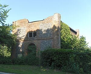
Anglican | II* | A new church built in 1849 made this 13th-century church unnecessary, and it became a ruin. Most of its outer walls still stand. | ||
| Primitive Methodist Chapel | Walderton 50°53′23″N 0°52′44″W / 50.8898°N 0.8788°W |
Methodist | – | This building was used by Methodists until 1958, after which it became a house. It dates from the 1860s. | ||
| St Mary Magdalene's Church | West Lavington 50°58′39″N 0°43′53″W / 50.9774°N 0.7313°W |
Anglican | II* | This church closed in 2009 due to expensive repairs and a shrinking group of worshippers. It was built in 1850. | ||
| West Marden Evangelical Chapel | West Marden 50°54′59″N 0°54′20″W / 50.9164°N 0.9055°W |
Evangelical | – | This mission room was established in this village and later registered as an Evangelical place of worship. | ||
| Bethesda Chapel | West Wittering 50°47′10″N 0°52′18″W / 50.7860°N 0.8716°W |
Methodist | – | This building dates from 1811 and was extended in 1858. It is now a house. | ||
| Salvation Army Hall | Westbourne 50°51′34″N 0°55′45″W / 50.8595°N 0.9292°W |
Salvation Army | – | This building was registered as a Free church. A new building was put up and licensed in 1968. | ||
| Congregational Mission Church | Wisborough Green 51°01′20″N 0°30′39″W / 51.0222°N 0.5109°W |
Congregational | – | Now a house called Old Church, this chapel was built in 1909. |
See also
- Grade I listed buildings in West Sussex
- List of current places of worship in Chichester (district)
- List of demolished places of worship in West Sussex
 | Isaac Myers |
 | D. Hamilton Jackson |
 | A. Philip Randolph |


