List of national monuments in County Meath facts for kids
The Irish state has a special list of important old places and buildings in County Meath. These places are called "national monuments" because they are super important to Ireland's history. When a place is a national monument, the government helps protect it so it can last for many more years. Sometimes, even the land around the monument is protected to keep it safe.
Contents
Discovering Meath's Ancient Wonders
County Meath is full of amazing historical sites! From ancient burial mounds to grand castles, these places tell us stories about people who lived here long, long ago. Let's explore some of these incredible national monuments.
Ancient Burial Sites and Mounds
These sites are often very old, sometimes thousands of years old, and were used for burials or special ceremonies.
- Alexander Reid mound
- This is a barrow mound, which is a type of ancient burial mound. You can find it in Alexander Reid.
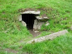
- Ardmulchan Passage Tomb
- Located in Ardmulchan, this is a passage tomb. These are ancient stone structures with a long passage leading to a burial chamber.
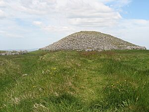
- Loughcrew
- In Oldcastle, Loughcrew is a huge cemetery of passage tombs and other ancient monuments. It also has cairns (piles of stones) and standing stones.
- Dowth Mound
- This site in Dowth includes a large mound and a standing stone, showing signs of ancient human activity.
- Dowth Passage Tomb
- Also in Dowth, this is another impressive passage tomb, similar to those found in other ancient burial grounds.
- Fourknocks Passage Tomb
- Found in Fourknocks, this is a well-known passage tomb with unique ancient art inside.
- Gaulstown Barrow
- This is a round barrow, another type of ancient burial mound, located in Gaulstown.
- Knowth Passage Tomb
- In Knowth, this site is a large cemetery with many passage tombs, similar to Newgrange, and is part of a UNESCO World Heritage site.
- Knowth Mound
- Also in Knowth, this site includes an enclosure and a large mound, showing how important this area was long ago.
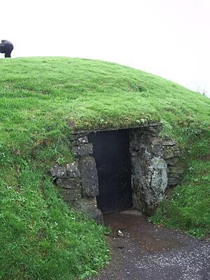
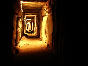
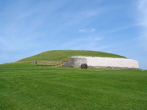
- Newgrange
- One of the most famous sites in Ireland, Newgrange in Newgrange is an incredible passage tomb built around 3200 BC. It's famous for how the sun lights up its passage during the winter solstice.
Historic Castles and Forts
These strongholds were built for defense and to show power, often dating back to medieval times.
- Ardmulchan Fort
- This is a ringfort in Ardmulchan, which was a circular fortified settlement from early medieval times.
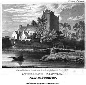
- Athcarne Castle
- Located in Athcarne, this is a historic castle.
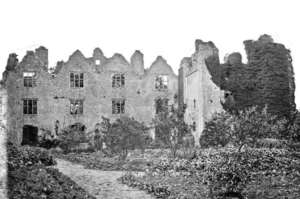
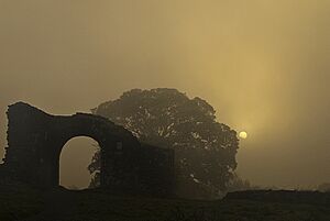
- Athlumney Castle
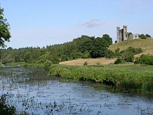
- In Athlumney, this is another significant castle, now in ruins but still impressive.
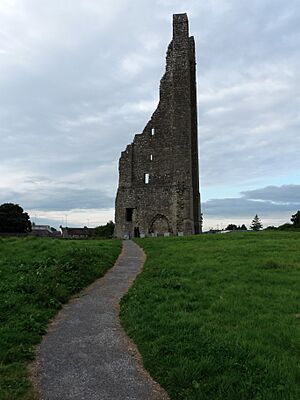
- The Yellow Steeple & Nangle Castle
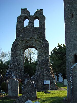
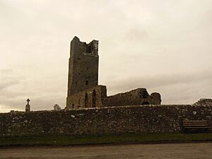
- Found in Trim, these are the remains of an Augustinian priory (a type of monastery) and a castle.
- Danestown Fort
- This site in Danestown is a ringfort or ringwork, another type of early medieval defensive earthwork.
- Donore Castle
- This castle is located in Donore.
- Dunmoe Castle
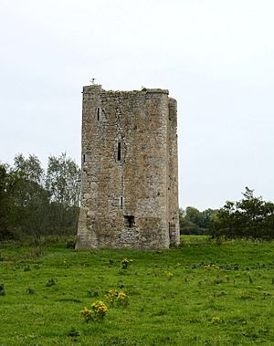
- In Dunmoe, this is a castle that stands as a reminder of past times.
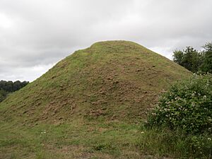
- Loughbracken Fort
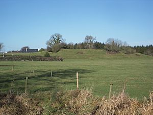
- This site in Loughbrackan is a mound and bailey, a type of castle where a mound (motte) was topped by a tower, and a courtyard (bailey) was enclosed.
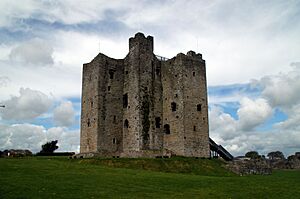
- Trim Castle
- One of the largest and most famous castles in Ireland, Trim Castle in Trim is a huge Norman castle.
- Mountfortescue Hillfort
- In Mountfortescue, this site includes a ringditch, a tumulus (another type of mound), and a hillfort, showing ancient defensive structures.
- Realtogue Fort
- This is a ringfort in Realtogue (also known as Realtoge).
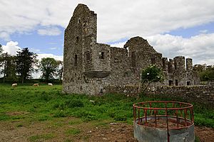
- Robertstown Castle
- A 17th-century castle located in Robertstown.
- Robertstown Fort
- Also in Robertstown, this is a bivallate ringfort, meaning it has two defensive banks or ditches.
Churches, Abbeys, and Religious Sites
These monuments highlight the religious history of County Meath, from early Christian times to later medieval periods.
- Cannistown Church
- This historic church is located in Ardsallagh.
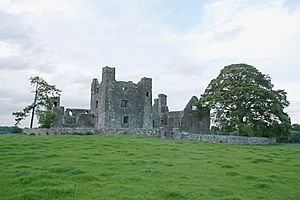
- Bective Abbey
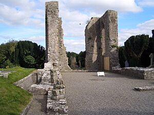
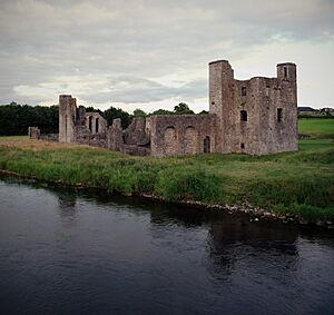
- In Bective, this is a Cistercian abbey, a type of monastery, with beautiful ruins.
- Calliaghstown Well (St. Columcille's Well)
- This is a holy well in Calliaghstown, a place believed to have special healing powers.
- St. Patrick's Church
- A church located in Duleek.
- Duleek Church
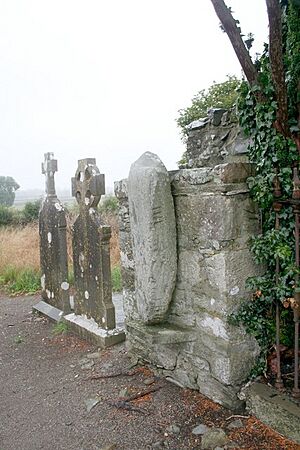
- In Commons, this site includes a church and crosses.
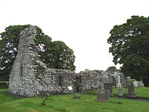
- Donaghmore Church
- This site in Donaghmore features a church and a round tower, which were common in early Irish monasteries.
- Church of St. Nicholas
- A church located in Dunsany.
- St. Seachnail's Church
- This church is found in Dunshaughlin.
- Killeen Church
- A church located in Killeen.
- Newtown Abbey
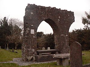
- In Newtown (Trim), this site was once a cathedral, a very important church.
- Rathmore Church
- This site in Rathmore includes a church, a cross, and its base.
- Newtown Trim
- Located in Saint Johns, this is the site of St. John's Priory.
- Skryne Church
- This site in Skryne includes a church and crosses.
- Slane Church/ St. Patrick's Church
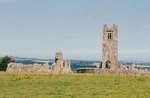
- On the Hill of Slane, this is a historic church.
- Monastery
- Also on the Hill of Slane, this was once a college or monastery.
- St. Columb's House
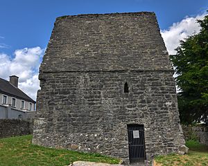
- This church is located in Kells.
Crosses and Other Monuments
These monuments include ancient crosses, town defenses, and ritual sites that tell us about daily life and beliefs.
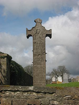
- Balrath Cross
- This cross is found in Balrath.
- Sheep Gate
- In Trim, this is part of the old town defenses, a gate that protected the town.
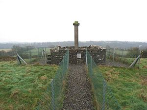
- Carrickdexter Cross (Baronstown Cross)
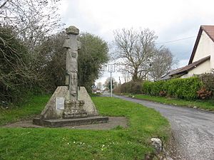
- This is an early 17th-century stone cross located in Carrickdexter.
- Hill of Tara
- In Castletown Tara and Castleboy, the Hill of Tara is a very important ritual and burial site, and also has a church and graveyard. It was once the seat of the High Kings of Ireland.
- Castlekeeran Crosses
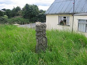
- These crosses are found in Castlekeeran.
- Dowdall Cross (Duleek)
- This cross is located in Commons, Duleek.
- Cruicetown Church
- In Cruicetown, this site includes a church and a cross.
- Athcarne Cross
- This is a wayside cross from around 1700, located in Gaulstown.
- Porch Fields
- In Trim, this site includes a town gate and a medieval roadway, showing how the town was laid out long ago.
- Sarsfieldstown Cross
- This is a wayside cross from around 1500, found in Sarsfieldstown.
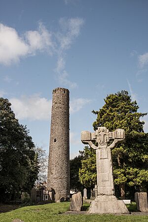
- Kells Round Tower
- In Kells, this site features a tall round tower and high crosses, which are famous for their carvings.
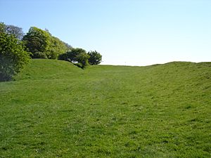
- Hill of Ward
- This site in Wardstown consists of earthworks, which are large shapes made in the ground, often for defensive or ceremonial purposes.
- Rath Meave
- Located in Odder and Belpere, this is a ritual enclosure known as a Henge, used for ceremonies in ancient times.
Sources
- National Monuments in County Meath
 | James Van Der Zee |
 | Alma Thomas |
 | Ellis Wilson |
 | Margaret Taylor-Burroughs |


