A830 road facts for kids
Quick facts for kids
A830 road |
||||
|---|---|---|---|---|
| The road to the Isles | ||||
| Lua error in Module:Infobox_road/map at line 15: attempt to index field 'wikibase' (a nil value). | ||||

|
||||
| Route information | ||||
| Length | 46 mi (74 km) | |||
| Major junctions | ||||
| West end | Mallaig | |||
| East end | Fort William | |||
| Location | ||||
| Road network | ||||
|
||||
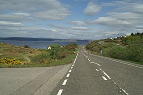
The A830 is a main road in the Scottish Highlands, a beautiful part of Scotland. It's often called the Road to the Isles. This road connects the town of Fort William to the port of Mallaig. It's a very important route for people traveling to the Scottish islands.
Contents
Exploring the A830 Road
The A830 road is about 46 miles (74 kilometers) long. It runs alongside the West Highland Line, which is a famous railway. The road starts near Fort William. It crosses the River Lochy using the Victoria Bridge.
As you travel along the A830, you'll pass through several small places. These include Corpach, Glenfinnan, and Arisaig. The road also goes past the village of Morar.
The A830 follows the edges of Loch Eil and Loch Eilt. It also winds through many valleys between these lochs. The road ends at the port of Mallaig. From Mallaig, you can catch ferries to islands like Muck, Eigg, Rùm, Canna, Skye, and South Uist. There's also a ferry to Inverie, which is on the mainland but has no other road access.
The Road's Past

The historic "Road to the Isles" is a very old path. It was once used to move cattle across Scotland. This old path was much longer than today's A830. It went over wild areas like Rannoch Moor.
Before the 1800s, there wasn't a proper road past Glenfinnan. This area was known as "The Rough Bounds." In 1803, a man named Thomas Telford suggested building a new road. This "Parliamentary Road" would go from Banavie and Corpach towards Arisaig.
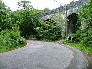
Thomas Telford built the A830 in the early 1800s. For most of the 1900s, it was a single-track road. This means it was only wide enough for one car at a time. Drivers had to pull over to let others pass.
Upgrades and Changes
The road was very narrow for a long time. In 1969, a section between Craigag and Glenfinnan was made wider. A new bridge was also built over the Caledonian Canal.
The poor condition of the A830 actually helped the West Highland Line railway. The railway was planned to close. But it was too hard to run buses on the narrow road instead. So, the train line stayed open!
People wanted the road to be better. In 1991, some local people even blocked the road. They were protesting to get improvements made.
Finally, in April 2009, the last single-track part of the A830 was replaced. This section was between Arisaig and Lochailort. It was a big upgrade costing £23.4 million. The old, narrow section is now called the B8008.
Culture and Songs
The A830 and the "Road to the Isles" are famous in Scottish culture.
Featured on TV
On May 25, 2008, the road was shown on the BBC TV show Countryfile. This program explores the British countryside.
Famous Songs
There is a well-known traditional Scottish song called The Road to the Isles. The song talks about many places along the road. These include the Cuillin Hills, Tummel, Loch Rannoch, Lochaber, Shiel, Ailort, Morar, and the Skerries.
Another song, "The 8-3-0," is a funny song about the road. Ian McCalman wrote it in 1993. It makes fun of how narrow the road was. The song describes tourists trying to avoid buses and fish vans. It says they would rather take the train back from Mallaig!
 | Audre Lorde |
 | John Berry Meachum |
 | Ferdinand Lee Barnett |


