Copper River Census Area, Alaska facts for kids
Quick facts for kids
Copper River Census Area
|
|
|---|---|

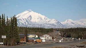
Scenic view of Glennallen, the largest community in the Copper River Census Area
|
|

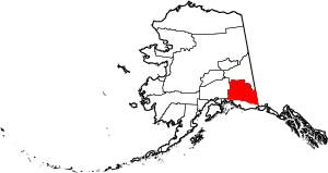
Location within the U.S. state of Alaska
|
|
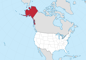
 Alaska's location within the U.S. |
|
| Country | |
| State | |
| Founded | January 2, 2019 |
| Named for | Copper River |
| Largest CDP | Glennallen |
| Area | |
| • Total | 24,692 sq mi (63,950 km2) |
| Population
(2020)
|
|
| • Total | 2,617 |
| • Density | 0.105/sq mi (0.041/km2) |
| Time zone | UTC−9 (Alaska) |
| • Summer (DST) | UTC−8 (ADT) |
| Congressional district | At-large |
The Copper River Census Area is a special region in the state of Alaska, United States. It's called a "census area" because it helps the government count people. This area is part of the Unorganized Borough. This means it doesn't have its own main government office or "borough seat" like many other places.
The Copper River Census Area was created on January 2, 2019. It was formed when a larger area, the Valdez–Cordova Census Area, was split into two new parts. The other new part is the Chugach Census Area.
In 2020, about 2,617 people lived here. The biggest communities in the area are Glennallen and Copper Center. These are known as "census-designated places." The area gets its name from the famous Copper River. This river flows through the area and is known for its rich fish.
Who Lives in the Copper River Area?
In 2010, when it was part of a larger area, about 2,952 people lived in what is now the Copper River Census Area. Most of the people were adults over 18 years old. About 1 in 10 people were over 65.
Most residents were reported as White. A good number of people were also American Indian or Alaska Native. There were also smaller groups of people from other backgrounds.
Communities in the Copper River Area
The Copper River Census Area has many small towns and villages. These are often called "census-designated places" (CDPs). A CDP is a place that looks like a town but isn't officially set up as a city or town with its own local government.
Here are some of the communities you can find:
Some of these communities, like Copperville, used to be CDPs but are not anymore. Many of these places are located along important roads like Alaska Route 1 and Route 4.
 | Frances Mary Albrier |
 | Whitney Young |
 | Muhammad Ali |

