
Mount Victoria (Bow Range) facts for kids
Quick facts for kids Mount Victoria |
|
|---|---|

Mt. Victoria in August 2011 as seen from Fairview Mountain
|
|
| Highest point | |
| Elevation | 3,464 m (11,365 ft) |
| Prominence | 547 m (1,795 ft) |
| Parent peak | Hungabee Mountain 3490 m |
| Geography | |

Mount Victoria
Location in Alberta
|
|
| Country | Canada |
| Parent range | Bow Range |
| Topo map | NTS 83C/05 |
| Climbing | |
| First ascent | 1897 |
| Easiest route | South Summit, South-East Ridge II |
Mount Victoria is a tall mountain in the Canadian Rockies. It stands at 3,464 metres (11,365 ft) high. This mountain is special because it sits right on the border between two Canadian provinces: British Columbia and Alberta.
You can find Mount Victoria just northeast of Lake O'Hara. It's part of both Yoho National Park and Banff National Park. The mountain also lies on the Continental Divide. This divide is a line that separates which ocean rainfall flows into. It also marks the border between these two provinces.
Mount Victoria is located on the western side of Abbot Pass. On the eastern side of this pass, you'll find Mount Lefroy.
Contents
Mountain's Name and First Climbers
The mountain was named in 1897 by a person named J. Norman Collie. He named it after Queen Victoria, who was the Queen of the United Kingdom at that time.
The first time people successfully climbed to the top of Mount Victoria was also in 1897. The climbing team included J. Norman Collie, Arthur Michael, Charles Fay, and Peter Sarbach. They were the first to reach its summit.
How Mount Victoria Was Formed
Mount Victoria is made of sedimentary rock. This type of rock forms from layers of sand, mud, and tiny bits of sea creatures. These layers were laid down a very long time ago, during a period called the Cambrian period.
Back then, this area was covered by shallow seas. Over millions of years, these layers of sediment hardened into rock. Later, huge forces from inside the Earth pushed these rocks up. This process, called the Laramide orogeny, created the Rocky Mountains we see today.
Weather at Mount Victoria
Mount Victoria has a subarctic climate. This means it has very cold and snowy winters. The summers are usually mild, not too hot.
Temperatures can drop below −20 degrees Celsius (which is −4 degrees Fahrenheit). With the wind chill, it can feel even colder, sometimes below −30 degrees Celsius (−22 degrees Fahrenheit). So, it's a very chilly place in winter!
Images for kids
-
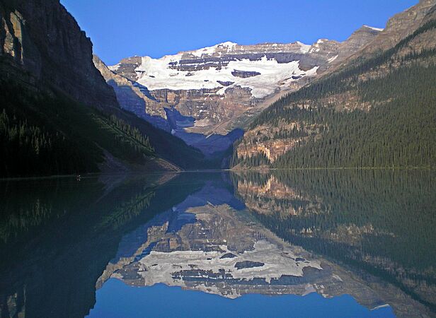
Mount Victoria reflected in Lake Louise
-

Mount Victoria's north peak seen from the Wapta Lake area


