Puna de Atacama facts for kids
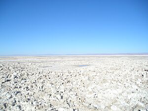
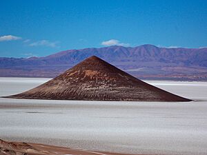
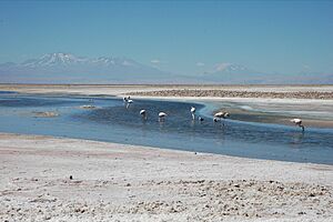
The Puna de Atacama, also known as the Atacama Plateau, is a very dry, high plateau located in the Andes mountains. It stretches across northern Chile (about 15%) and the northwest of Argentina (about 85%). A scientist named Walther Penck studied this area to understand how its unique landforms were created.
What is the Puna de Atacama?
This high plateau sits at an average height of about 4,500 meters (14,760 feet) above sea level. It covers a large area of around 180,000 square kilometers (69,500 square miles).
In Argentina, you can find parts of the Puna in the provinces of Salta, Jujuy, and western Catamarca. In Chile, it is located in the regions of Antofagasta and the northeastern part of Atacama.
How were the borders decided?
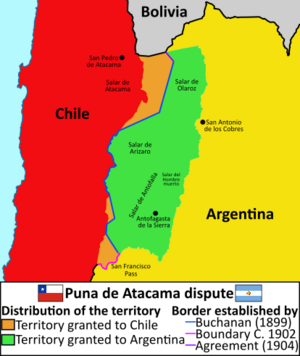
Before a conflict called the War of the Pacific (1879–1883), the Puna de Atacama region belonged to Bolivia. In 1898, Bolivia gave this land to Argentina. In return, Argentina agreed that Tarija would be part of Bolivia.
However, Chile had taken the Litoral Province from Bolivia after the war. So, Chile said that the land exchange between Bolivia and Argentina was not legal. This led to a disagreement known as the Puna de Atacama dispute.
The borders were finally set in 1899 after talks between the countries. The disputed area was about 75,000 square kilometers. Argentina received 64,000 square kilometers (85%), and Chile received 11,000 square kilometers (15%).
See also
 In Spanish: Puna de Atacama para niños
- Atacama Desert
- Altiplano
- Salar de Atacama
- Tren a las Nubes
 | Frances Mary Albrier |
 | Whitney Young |
 | Muhammad Ali |


