Catalan Central Depression facts for kids
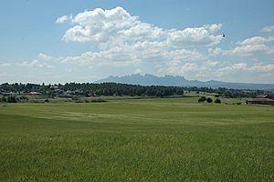
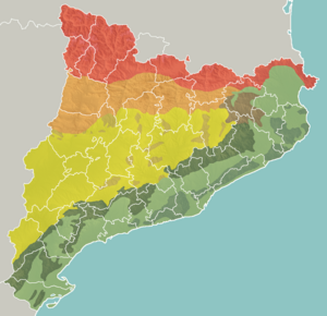
The Catalan Central Depression (Catalan: Depressió Central Catalana) is a large, low-lying area of land in Spain. It sits between the Pre-Pyrenees mountains and the Catalan Pre-Coastal Range. Think of it like a big valley or a sunken area of land.


This depression gets wider as you go west. It connects with the Ebro Depression, which is another large low area. You could say the Catalan Central Depression is like an eastern part of the Ebro Depression. It stretches for about 180 kilometers (about 112 miles) and is usually around 50 kilometers (about 31 miles) wide.
Contents
What is the Catalan Central Depression Like?
The Catalan Central Depression has many high, flat areas called plateaus. These plateaus are usually between 800 and 1,000 meters (about 2,600 to 3,300 feet) high. As you move west, these plateaus gradually get lower until they reach the Ebro Depression.
In some places, rivers have worn away the land, creating lower areas called river basins. This happens where the ground is made of softer materials like clay or marlstone (a type of rock). Good examples of these flatter, lower regions are the Pla de Bages and the Conca de Barberà.
The edges of the Central Depression can be a bit tricky to define. Some mountains, like Montserrat and Sant Llorenç del Munt, are actually made of the same types of rocks as the Central Depression. Even though they are geographically part of the Pre-Coastal Range, their rocks formed in the same way as the depression. These rocks piled up on top of older rocks from the Catalan Mediterranean System.
How Did the Central Depression Form?
The Central Depression formed a very long time ago, during a period called the Tertiary period. Back then, there was a huge gulf, which is like a large bay or inlet of the sea. This gulf later became a sea itself. Its edges were defined by the Pyrenees mountains and an ancient landmass called the Catalan-Balearic Massif.
As this sea existed, sedimentation happened. This means that tiny bits of rock, sand, and mud settled at the bottom. This process formed different types of materials:
- Clay and limestone formed where the water was calm and the settling process was slow.
- Bluish marl also formed in these quiet areas.
- Conglomerate (a rock made of rounded pebbles and stones) formed near the mouths of ancient rivers. These rivers flowed down from the Pyrenees and the old Catalan-Balearic Massif.
- As the water in some areas evaporated, it left behind salts like sodium and potassium, as well as gypsum (a soft mineral).
Mountains in the Depression
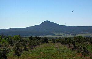
Even though it's called a "depression," there are some smaller mountain ranges scattered throughout this area. They don't follow a clear pattern. Some of the main ones include:
- Serra de Castelltallat
- Serra de Pinós
- Serra de Rubió
- Montmeneu
See also
 In Spanish: Depresión central catalana para niños
 | Janet Taylor Pickett |
 | Synthia Saint James |
 | Howardena Pindell |
 | Faith Ringgold |


