
Gap, Hautes-Alpes facts for kids
Quick facts for kids
Gap
|
||
|---|---|---|

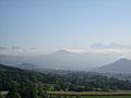
View of Gap.
|
||
|
||

Gap
Location in France

Gap
Location in Provence-Alpes-Côte d'Azur
|
||
| Country | France | |
| Region | Provence-Alpes-Côte d'Azur | |
| Department | Hautes-Alpes | |
| Arrondissement | Gap | |
| Canton | Chief town of 4 cantons | |
| Intercommunality | CA Gap-Tallard-Durance | |
| Area
1
|
110.43 km2 (42.64 sq mi) | |
| Population
(2014)
|
40,225 | |
| • Density | 364.258/km2 (943.42/sq mi) | |
| Time zone | UTC+01:00 (CET) | |
| • Summer (DST) | UTC+02:00 (CEST) | |
| INSEE/Postal code |
05061 /05000
|
|
| Elevation | 625–2,360 m (2,051–7,743 ft) (avg. 1,493 m or 4,898 ft) |
|
| Website | www.ville-gap.fr | |
| 1 French Land Register data, which excludes lakes, ponds, glaciers > 1 km2 (0.386 sq mi or 247 acres) and river estuaries. | ||

Gap is a city in southeastern France. It is part of the Hautes-Alpes area, which is a "department" (like a county). Gap is the main city and capital of this department.
It is the highest capital city of a department in France. The city sits in a valley about 735 meters (2,411 feet) above sea level.
Contents
Geography of Gap
Gap is located in the southern part of the Hautes-Alpes department. The Luye river, which flows into the Durance river, runs through the city.
The city covers an area of about 110.4 square kilometers (42.6 square miles). Its average height above sea level is 1,493 meters (4,898 feet). At the city hall, the height is 767 meters (2,516 feet).
Distances to Major Cities
Here are the distances from Gap to some other important cities:
- Paris, the capital of France - 674 km (419 mi)
- Marseille, the regional capital - 180 km (112 mi)
- Lyon - 204 km (127 mi)
- Nice - 288 km (179 mi)
- Montpellier - 299 km (186 mi)
- Toulouse - 538 km (334 mi)
- Strasbourg - 676 km (420 mi)
- Reims - 698 km (434 mi)
- Bordeaux - 775 km (482 mi)

Gap is surrounded by 17 other towns. These include Laye, Saint-Laurent-du-Cros, Forest-Saint-Julien, La Rochette, Rambaud, Jarjayes, Neffes, Châteauvieux, Lettret, Pelleautier, La Roche-des-Arnauds, La Freissinouse, La Fare-en-Champsaur, Poligny, Le Noyer, Le Dévoluy, and Rabou.
 |
La Fare-en-Champsaur, Poligny, Le Noyer, Le Dévoluy, Rabou | Laye, Saint-Laurent-du-Cros | Forest-Saint-Julien, La Rochette | |
| La Roche-des-Arnauds La Freissinouse |
Rambaud | |||
| Pelleautier | Neffes, Châteauvieux, Lettret | Jarjayes |
Climate in Gap
Gap has an Oceanic climate. This means it has mild summers and cool winters, with rainfall spread throughout the year.
Population of Gap
The people who live in Gap are called Gapençais (for men) and Gapençaises (for women) in French.
Gap has a population of 40,225 people. This means there are about 364 people living in each square kilometer of the city.
How the population of Gap has changed over time
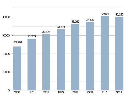
Gap and the nearby town of La Rochette form an "urban area." This area has about 40,700 people and covers 120.8 square kilometers (46.6 square miles). This urban area is also the center of a larger "metropolitan area" of Gap. This bigger area includes 39 towns, with a total population of 62,567 people and an area of 756.6 square kilometers (292.1 square miles).
City Government
Gap is the capital city of the Hautes-Alpes department. It is also the main city of the arrondissement (a type of district) of Gap.
The city is divided into four smaller administrative areas called "cantons." Each canton has a part of Gap and a certain number of people:
- Gap-1: 9,895 people (in 2014)
- Gap-2: 10,743 people (in 2014)
- Gap-3: 10,346 people (in 2014)
- Gap-4: 9,241 people (in 2014)
Gap is also part of a group of towns called Gap-Tallard-Durance. This group works together on things like public services.
Sister Cities
Gap has "sister city" relationships with two other cities:
 Pinerolo, Italy, since 1966
 Traunstein, Germany, since 1976
Gallery
-
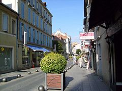
Carnot street, Gap.
-
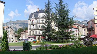
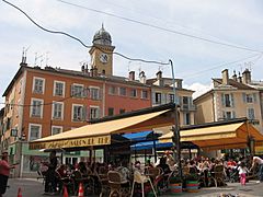
Gap.
-
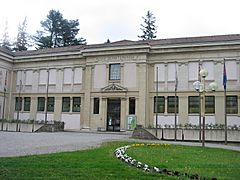
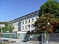
The Departmental Museum of Gap.
-
Jean-Marcellin square.
-
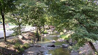
The Luye river at Gap, near the Parc de la Pépinière.


Images for kids
-
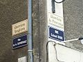
Bilingual signage in Alpine Provençal and in French at Gap
-
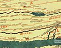
Roman roads in the Alps, during the 4th century
-
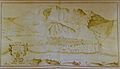
Gap in 1607
-
Gap at the end of the 18th century
-
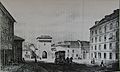
Gap, the Lignole Gate in 1830
-
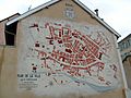
Fresco of the city center of Gap in 1899
-
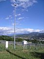
Weather Station Gap Varsie
-
The "bar Bayard," a sign of good weather over the city
-
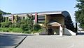
Pôle University in Gap
-
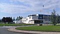
The Patinoire Brown-Ferrand (ice rink) in Gap
-
Multipurpose hall of La Blâche
-
The swimming arena
-
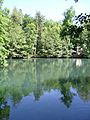
The Charance Lake
-
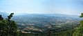
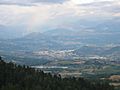
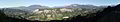
The city of Gap seen from Charance
-
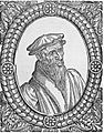
Guillaume Farel
-
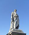
Statue of Ladoucette in Gap made by the Gap sculptor, Jean Marcellin
-
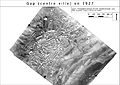
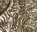
An aerial photograph of Gap (IGN) from 1927
-
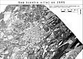
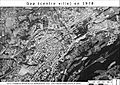
An aerial photograph of Gap (IGN) from 1945
-
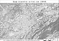
An aerial photograph of Gap (IGN) from 1965
-
An aerial photograph of Gap (IGN) from 1978
-
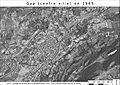
An aerial photograph of Gap (IGN) from 1995
-
The Sillon de Gap (towards the north-east), a large glacial valley.
-
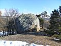
The glacial erratic of Peyre-Ossel placed on a lateral moraine
-
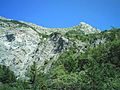
Limestone layers of the Pic du Charance
-
Southeast of the commune of Gap
-
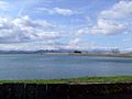
The lake of the Jaussauds Reservoir
-
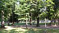
Parc de la Pépinière


.jpg)


See also
 In Spanish:
