Gaviota State Park facts for kids
Quick facts for kids Gaviota State Park |
|
|---|---|

Gaviota State Park from the Gaviota Peak Trail
|
|
| Location | Santa Barbara County, California, USA |
| Nearest city | Goleta, California |
| Area | 2,787 acres (11.28 km2) |
| Established | 1953 |
| Governing body | California Department of Parks and Recreation |
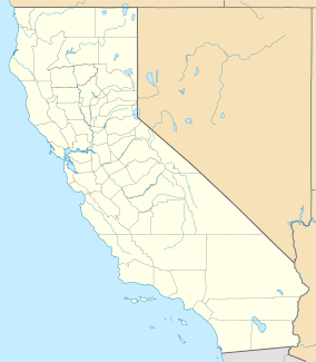
Gaviota State Park is a special place in California, USA. It's a state park located in southern Santa Barbara County, California, about 33 miles (53 km) west of the city of Santa Barbara. This park is one of three state parks along the beautiful Gaviota Coast. It stretches from the Pacific coast all the way up to the top of the Santa Ynez Mountains. It's also right next to Los Padres National Forest. This park covers 2,787 acres (1,128 ha) and was created in 1953.
Contents
Exploring Gaviota State Park
The park is split into two parts by U.S. Route 101, a major highway. This highway goes through the Gaviota Tunnel and Gaviota Pass, which is a deep canyon cut right through the mountains. Gaviota State Park has one part on each side of the highway. The western part includes the beach and a campground, which is where most visitors like to go.
Trails and Adventures

Both sides of the park have many trails for hiking, horseback riding, and mountain biking. A very popular trail is a short dirt road that leads to a famous hot spring on the eastern side of the highway.
Another longer trail starts from the same spot and goes out of the park to the top of Gaviota Peak. This is the highest mountain nearby, at 2,458 feet (749 m) tall. Even though it's not super high, it's a standalone peak, so the views from the top are amazing! On a clear day, you can see a lot of Santa Barbara County and even the coast far south to the Santa Monica Mountains. There are 34 miles (55 km) of trails in the park in total.
Sometimes, large wild cats called mountain lions might be seen in the park. There are signs to warn visitors about them.
Nature and Wildlife
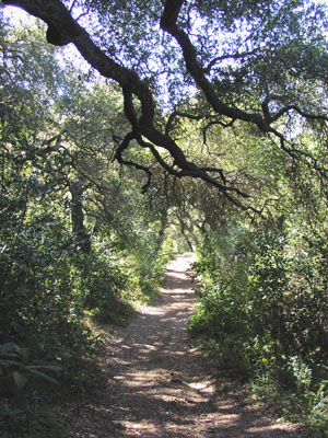
The park is home to different types of plant areas. You can find chaparral plants in the higher parts, oak woodlands in other areas, and both native prairie and non-native grasslands. These plants are part of the California coastal sage and chaparral ecoregion.
The part of Gaviota Creek that flows through the park is very special. It has one of the best riparian habitats (areas along a river) left in southern Santa Barbara County. Because it's so important for nature, it's carefully protected.
In June 2004, a big wildfire burned much of the park's plants. Wildfires are a natural part of the chaparral ecosystem, helping new plants to grow.
Beach Campground
The park has a beach campground with 39 spots for RVs (up to 25 feet for most) and tents. There are also eight picnic areas. The park also has a fishing pier where you can fish. This pier even has a small hoist to help lift boats. Nearby, you can find some great spots for surfing. The campground does not have hook-ups for RVs or a dump station.
Weather at the Park
Gaviota State Park has a Mediterranean climate. This means it has mild, rainy winters and sunny summers. It often has clouds in the mornings. Temperatures rarely drop below freezing. Summertime temperatures get hotter the further you go from the coast.
Because of the unique shape of the land, with a deep canyon cut through the mountains, strong winds can blow through the canyon at certain times of the year. These winds are most common in late spring and are known as Sundowners. They happen all along the south coast of Santa Barbara County, but they are often strongest in the Gaviota area.
 | Bessie Coleman |
 | Spann Watson |
 | Jill E. Brown |
 | Sherman W. White |


